world.wikisort.org - Royaume-Uni
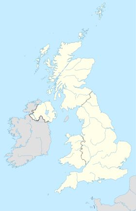
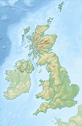
Wotton-under-Edge est un bourg anglais situé dans le district de Stroud et le comté du Gloucestershire. En 2011, il comptait 5 627 habitants.
Pour les articles homonymes, voir Wotton.
Wotton-under-Edge est situé dans le sud des Cotswolds, à 8 km de l'autoroute M5.
La localité est connue pour son Ancient Ram Inn (en), une ancienne auberge classé datant de 1145, réputée comme l'un des lieux les plus hantés du pays.
- Portail de l’Angleterre
На других языках
[en] Wotton-under-Edge
Wotton-under-Edge /ˈwʊtən/ is a market town within the Stroud district of Gloucestershire, England. Located near the southern fringe of the Cotswolds, the Cotswold Way long-distance footpath passes through the town. Standing on the B4058, Wotton is about 5 miles (8.0 km) from the M5 motorway. The nearest railway station is Cam and Dursley, 7 miles (11 km) away by road, on the Bristol to Birmingham line.- [fr] Wotton-under-Edge
Текст в блоке "Читать" взят с сайта "Википедия" и доступен по лицензии Creative Commons Attribution-ShareAlike; в отдельных случаях могут действовать дополнительные условия.
Другой контент может иметь иную лицензию. Перед использованием материалов сайта WikiSort.org внимательно изучите правила лицензирования конкретных элементов наполнения сайта.
Другой контент может иметь иную лицензию. Перед использованием материалов сайта WikiSort.org внимательно изучите правила лицензирования конкретных элементов наполнения сайта.
2019-2025
WikiSort.org - проект по пересортировке и дополнению контента Википедии
WikiSort.org - проект по пересортировке и дополнению контента Википедии


