world.wikisort.org - Royaume-Uni
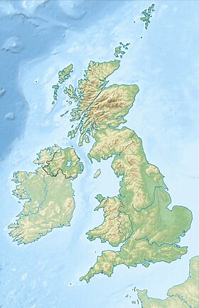
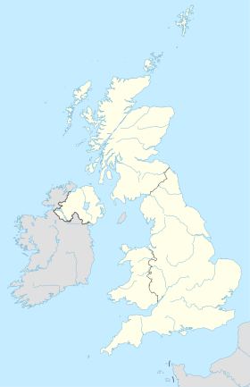
Whitefield est une ville anglaise située dans le district métropolitain de Bury dans le comté du Grand Manchester. En 2001, sa population était de 23 283 habitants.
Pour les articles homonymes, voir Whitefield.
Traduction
- (en) Cet article est partiellement ou en totalité issu de l’article de Wikipédia en anglais intitulé « Whitefield, Greater Manchester » (voir la liste des auteurs).
- Portail de Manchester et son comté
На других языках
[en] Whitefield, Greater Manchester
Whitefield is a town in the Metropolitan Borough of Bury, Greater Manchester, England.[1] It lies on undulating ground above the Irwell Valley, along the south bank of the River Irwell, 3 miles (4.8 km) southeast of Bury, and 4.9 miles (7.9 km) northwest of Manchester. Prestwich and the M60 motorway lie just to the south.- [fr] Whitefield (Grand Manchester)
Текст в блоке "Читать" взят с сайта "Википедия" и доступен по лицензии Creative Commons Attribution-ShareAlike; в отдельных случаях могут действовать дополнительные условия.
Другой контент может иметь иную лицензию. Перед использованием материалов сайта WikiSort.org внимательно изучите правила лицензирования конкретных элементов наполнения сайта.
Другой контент может иметь иную лицензию. Перед использованием материалов сайта WikiSort.org внимательно изучите правила лицензирования конкретных элементов наполнения сайта.
2019-2025
WikiSort.org - проект по пересортировке и дополнению контента Википедии
WikiSort.org - проект по пересортировке и дополнению контента Википедии


