world.wikisort.org - Royaume-Uni
White Waltham est un village du Berkshire,Angleterre. Ce village est situé à environ 3 km au sud-ouest de Maidenhead. Son aérodrome est l'un des plus anciens, et celui des pionniers de l'aviation anglaise, et toujours le lieu de l'Aéroclub de Londres.
- Portail de l’Angleterre
| White Waltham | |
| Administration | |
|---|---|
| Pays | |
| Nation | |
| Comté | Berkshire |
| Statut | Village |
| Démographie | |
| Population | 2 881 hab. |
| Géographie | |
| Coordonnées | 51° 29′ 25″ nord, 0° 46′ 09″ ouest |
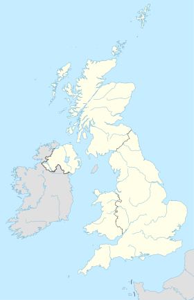
| Localisation | |
| modifier |
|
На других языках
[en] White Waltham
White Waltham is a village and civil parish, 3.5 miles (6 km) west of Maidenhead, in the Royal Borough of Windsor and Maidenhead in Berkshire, England. It is crossed briefly by the M4 motorway, which along with the Great Western Main Line and all other roads covers 0.267 square kilometres (0.103 sq mi) of the parish and 'greenspace' which includes cultivated fields covers the most part - this covered (in January 2005) 9.421 square kilometres (3.637 sq mi).[2] White Waltham Airfield is in the parish.- [fr] White Waltham
Текст в блоке "Читать" взят с сайта "Википедия" и доступен по лицензии Creative Commons Attribution-ShareAlike; в отдельных случаях могут действовать дополнительные условия.
Другой контент может иметь иную лицензию. Перед использованием материалов сайта WikiSort.org внимательно изучите правила лицензирования конкретных элементов наполнения сайта.
Другой контент может иметь иную лицензию. Перед использованием материалов сайта WikiSort.org внимательно изучите правила лицензирования конкретных элементов наполнения сайта.
2019-2025
WikiSort.org - проект по пересортировке и дополнению контента Википедии
WikiSort.org - проект по пересортировке и дополнению контента Википедии

