world.wikisort.org - Royaume-Uni
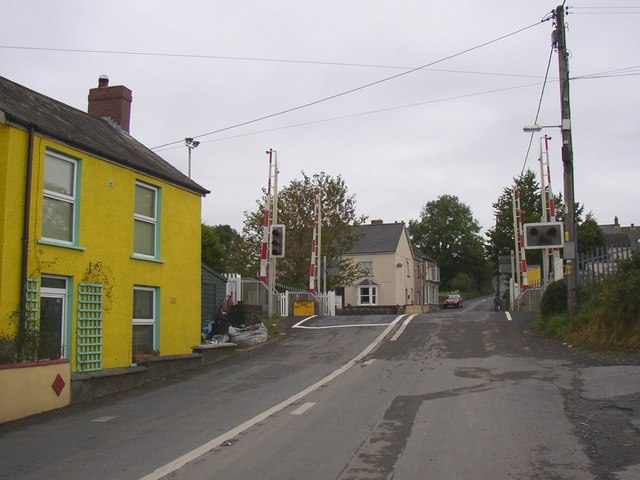
St Clears (en gallois : Sanclêr) est une petite ville et une communauté située sur l'estuaire de la rivière Tâf, dans le comté du Carmarthenshire, au pays de Galles.
| St Clears en gallois : Sanclêr | ||||
 L'église St Mary Magdalene | ||||
| Administration | ||||
|---|---|---|---|---|
| Pays | ||||
| Nation | ||||
| Comté | Carmarthenshire | |||
| Force de police | Dyfed-Powys | |||
| Incendie | Mid and West Wales | |||
| Ambulance | Welsh | |||
| Code postal | SA33 | |||
| Indicatif | 01994 | |||
| Démographie | ||||
| Population | 2 820 hab. (2001) | |||
| Géographie | ||||
| Coordonnées | 51° 49′ 14″ nord, 4° 30′ 15″ ouest | |||
| Localisation | ||||
| Géolocalisation sur la carte : Royaume-Uni
Géolocalisation sur la carte : Royaume-Uni
Géolocalisation sur la carte : Carmarthenshire
| ||||
| modifier |
||||


Au recensement de 2001, sa population était de 2 820 habitants, dont la plupart parle le gallois.
Source
- (en) Cet article est partiellement ou en totalité issu de l’article de Wikipédia en anglais intitulé « St Clears » (voir la liste des auteurs).
 Portail du pays de Galles
На других языках
[en] St Clears
St Clears (/ˈklɛərz/ KLAIRZ; Welsh: Sanclêr) on the River Tâf in Carmarthenshire, Wales, is both a small town and a community. At the 2011 census, the population was 2,995.[1] The community includes the small settlements of Bancyfelin and Pwlltrap. It is bordered by the Carmarthenshire communities of, Meidrim, Newchurch and Merthyr, Llangynog, Laugharne Township, Llanddowror, Eglwyscummin, Llanboidy and Llangynin.- [fr] St Clears
Текст в блоке "Читать" взят с сайта "Википедия" и доступен по лицензии Creative Commons Attribution-ShareAlike; в отдельных случаях могут действовать дополнительные условия.
Другой контент может иметь иную лицензию. Перед использованием материалов сайта WikiSort.org внимательно изучите правила лицензирования конкретных элементов наполнения сайта.
Другой контент может иметь иную лицензию. Перед использованием материалов сайта WikiSort.org внимательно изучите правила лицензирования конкретных элементов наполнения сайта.
2019-2026
WikiSort.org - проект по пересортировке и дополнению контента Википедии
WikiSort.org - проект по пересортировке и дополнению контента Википедии