world.wikisort.org - Royaume-Uni
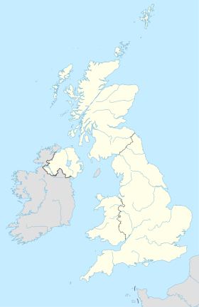
Ollerton est un petit village du Nottinghamshire, en Angleterre, situé à l'orée de la forêt de Sherwood dans une zone appelée les Dukeries. Il forme une partie de la paroisse civile de Ollerton et Boughton, et appartient au district de Newark and Sherwood[1].
Notes et références
- OS Explorer Map 270: Sherwood Forest: (1:25 000): (ISBN 0 319 24040 1)
- (en) Cet article est partiellement ou en totalité issu de l’article de Wikipédia en anglais intitulé « Ollerton » (voir la liste des auteurs).
Liens externes
- Portail du Nottinghamshire
- Portail de l’Angleterre
- Portail du Royaume-Uni
На других языках
[en] Ollerton
Ollerton is a town in the Newark and Sherwood District, Nottinghamshire, England, on the edge of Sherwood Forest in the area known as the Dukeries. It forms part of the civil parish of Ollerton and Boughton. [1] The population of this civil parish at the 2011 census was 9,840.[2]- [fr] Ollerton
Текст в блоке "Читать" взят с сайта "Википедия" и доступен по лицензии Creative Commons Attribution-ShareAlike; в отдельных случаях могут действовать дополнительные условия.
Другой контент может иметь иную лицензию. Перед использованием материалов сайта WikiSort.org внимательно изучите правила лицензирования конкретных элементов наполнения сайта.
Другой контент может иметь иную лицензию. Перед использованием материалов сайта WikiSort.org внимательно изучите правила лицензирования конкретных элементов наполнения сайта.
2019-2025
WikiSort.org - проект по пересортировке и дополнению контента Википедии
WikiSort.org - проект по пересортировке и дополнению контента Википедии


