world.wikisort.org - Royaume-Uni
Hetton-le-Hole est une ville anglaise intégrée à la cité de Sunderland, dans le comté de Tyne and Wear, au nord-est du pays.
| Hetton-le-Hole | |
| Administration | |
|---|---|
| Pays | |
| Nation | |
| Comté | Tyne and Wear |
| Force de police | Northumbria |
| Incendie | Tyne and Wear |
| Ambulance | North East |
| Code postal | 0DH5 |
| Indicatif | 0191 |
| Démographie | |
| Population | 14 402 hab. (2001) |
| Géographie | |
| Coordonnées | 54° 49′ 15″ nord, 1° 26′ 56″ ouest |
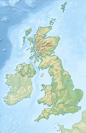
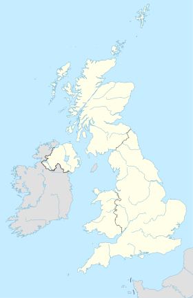
| Localisation | |
| modifier |
|
Au recensement de 2001, sa population était de 14 402 habitants.
Personnalités liées à la ville
- Bob Paisley (1919-1996), footballeur anglais, y est né.
Références
- (en) Cet article est partiellement ou en totalité issu de l’article de Wikipédia en anglais intitulé « Hetton-le-Hole » (voir la liste des auteurs).
Liens externes
- Portail de l’Angleterre
На других языках
[en] Hetton-le-Hole
Hetton-le-Hole is a town situated in the City of Sunderland, Tyne and Wear, England. It is in the historic county of Durham. A182 runs through the town, between Houghton-le-Spring and Easington Lane (the latter borders the County Durham District), off the A690 and close to the A1(M).- [fr] Hetton-le-Hole
Текст в блоке "Читать" взят с сайта "Википедия" и доступен по лицензии Creative Commons Attribution-ShareAlike; в отдельных случаях могут действовать дополнительные условия.
Другой контент может иметь иную лицензию. Перед использованием материалов сайта WikiSort.org внимательно изучите правила лицензирования конкретных элементов наполнения сайта.
Другой контент может иметь иную лицензию. Перед использованием материалов сайта WikiSort.org внимательно изучите правила лицензирования конкретных элементов наполнения сайта.
2019-2025
WikiSort.org - проект по пересортировке и дополнению контента Википедии
WikiSort.org - проект по пересортировке и дополнению контента Википедии

