world.wikisort.org - Royaume-Uni
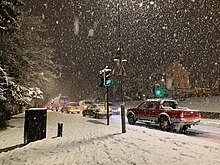
Hazlemere est un village situé dans la banlieue (nord-est) de High Wycombe dans le Buckinghamshire, Angleterre.
- Portail de l’Angleterre
| Hazlemere | |
| Administration | |
|---|---|
| Pays | |
| Nation | |
| Comté | Buckinghamshire |
| Statut | Ville |
| Géographie | |
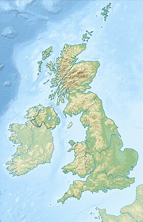
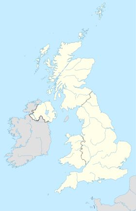
| Coordonnées | 51° 39′ 04″ nord, 0° 42′ 20″ ouest |
| Localisation | |
| modifier |
|

На других языках
[en] Hazlemere
Hazlemere is a large village and civil parish in Buckinghamshire, England, 2.5 miles (4.0 km) northeast of High Wycombe on the A404 leading to Amersham, which intersects with the B474 at Hazlemere. To the north of the village is the hamlet of Holmer Green, which is in the civil parish of Little Missenden.- [fr] Hazlemere
Текст в блоке "Читать" взят с сайта "Википедия" и доступен по лицензии Creative Commons Attribution-ShareAlike; в отдельных случаях могут действовать дополнительные условия.
Другой контент может иметь иную лицензию. Перед использованием материалов сайта WikiSort.org внимательно изучите правила лицензирования конкретных элементов наполнения сайта.
Другой контент может иметь иную лицензию. Перед использованием материалов сайта WikiSort.org внимательно изучите правила лицензирования конкретных элементов наполнения сайта.
2019-2025
WikiSort.org - проект по пересортировке и дополнению контента Википедии
WikiSort.org - проект по пересортировке и дополнению контента Википедии

