world.wikisort.org - Royaume-Uni
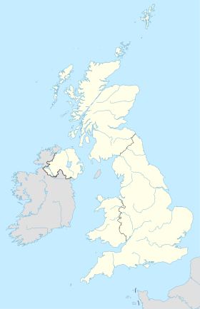
Crayford est une ville et une circonscription électorale du borough londonien de Bexley, dans le sud-est du Grand Londres.

La ville est située sur une petite rivière appelée la Cray, et son nom signifie « gué » de la Cray[1].
Références
- Adrian Room, Dictionary of Place Names in the British Isles (en anglais), Édition 1993, Bloomsbury Reference, (ISBN 0-7475-1511-5), pages 101-2
Liens externes
- Portail de Londres
- Portail de l’Angleterre
На других языках
[en] Crayford
Crayford is a town and electoral ward in South East London, England, within the London Borough of Bexley. It lies east of Bexleyheath and north west of Dartford. Crayford is in the historic county of Kent. The settlement developed by the river Cray, around a ford that is no longer used.- [fr] Crayford
Текст в блоке "Читать" взят с сайта "Википедия" и доступен по лицензии Creative Commons Attribution-ShareAlike; в отдельных случаях могут действовать дополнительные условия.
Другой контент может иметь иную лицензию. Перед использованием материалов сайта WikiSort.org внимательно изучите правила лицензирования конкретных элементов наполнения сайта.
Другой контент может иметь иную лицензию. Перед использованием материалов сайта WikiSort.org внимательно изучите правила лицензирования конкретных элементов наполнения сайта.
2019-2025
WikiSort.org - проект по пересортировке и дополнению контента Википедии
WikiSort.org - проект по пересортировке и дополнению контента Википедии


