world.wikisort.org - Royaume-Uni
Ballyclare est une commune dans le comté d'Antrim en Irlande du Nord.
| Ballyclare en irlandais : Bealach Cláir | |
 Pont sur la Rivière Bann à Kilrea | |
| Administration | |
|---|---|
| Pays | |
| Nation | Irlande du Nord |
| Comté | comté d'Antrim |
| Code postal | BT39 |
| Indicatif | 028 |
| Démographie | |
| Population | 9 919 hab. (2016) |
| Géographie | |
| Coordonnées | 54° 45′ 04″ nord, 5° 59′ 56″ ouest |
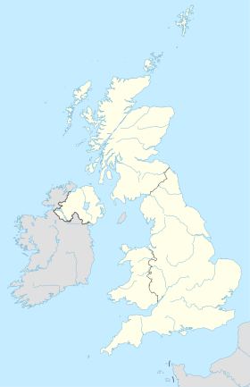
| Localisation | |
| modifier |
|
Notes et références
- Portail de l’Irlande du Nord
На других языках
[en] Ballyclare
Ballyclare (from Irish: Bealach Cláir, meaning 'pass of the plain')[2] is a small town in County Antrim, Northern Ireland. It had a population of 9,953 according to the 2011 census,[3] and is located within the Antrim and Newtownabbey Borough Council area.- [fr] Ballyclare
[ru] Балликлэр
Балликлэ́р (англ. Ballyclare, от ирл. Bealach Cláir — проход по равнине) — малый город района Ньютаунэбби, находящийся в графстве Антрим Северной Ирландии у реки Сикс Майл Уотер (Six Mile Water).Текст в блоке "Читать" взят с сайта "Википедия" и доступен по лицензии Creative Commons Attribution-ShareAlike; в отдельных случаях могут действовать дополнительные условия.
Другой контент может иметь иную лицензию. Перед использованием материалов сайта WikiSort.org внимательно изучите правила лицензирования конкретных элементов наполнения сайта.
Другой контент может иметь иную лицензию. Перед использованием материалов сайта WikiSort.org внимательно изучите правила лицензирования конкретных элементов наполнения сайта.
2019-2025
WikiSort.org - проект по пересортировке и дополнению контента Википедии
WikiSort.org - проект по пересортировке и дополнению контента Википедии


