world.wikisort.org - Royaume-Uni
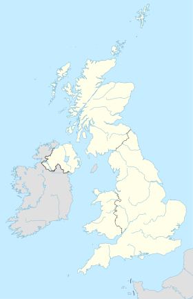
Aislaby est un petit village et une paroisse civile sur la rive nord de la rivière Tees, dans l'autorité unitaire de Stockton-on-Tees et dans le comté de Durham, en Angleterre. Aislaby est située à l'ouest d'Eaglescliffe et d'Yarm. Son nom, qui était d'abord Asulue(s)bi en 1086, a une origine Viking et signifie « la ferme d'Aslakr »[1]
| Aislaby | |
| Administration | |
|---|---|
| Pays | |
| Nation | |
| Comté | Durham |
| Statut | Village, paroisse civile |
| Code postal | TS16 |
| Indicatif | 01642 |
| Géographie | |
| Coordonnées | 54° 30′ 17″ nord, 1° 22′ 33″ ouest |
| Localisation | |
| modifier |
|
Références
- (en) Cet article est partiellement ou en totalité issu de l’article de Wikipédia en anglais intitulé « Aislaby, County Durham » (voir la liste des auteurs).
- A.D. Mills, Dictionary of English Place-Names (Oxford UP, 2nd ed., 1998), p. 4.
- Portail de l’Angleterre
На других языках
[en] Aislaby, County Durham
Aislaby (/ˈeɪzəlbi/ AYZ-əl-bi)[2]) is a small village and civil parish on the north bank of the River Tees within the borough of Stockton-on-Tees and the ceremonial county of County Durham, England. It is located to the west of Eaglescliffe and Yarm.[3] The name, first attested as Asulue(s)bi in 1086, is of Viking origin and means "Aslak's farm."[4] Aislaby was listed in the Domesday Book of 1086.[5]- [fr] Aislaby (Durham)
Текст в блоке "Читать" взят с сайта "Википедия" и доступен по лицензии Creative Commons Attribution-ShareAlike; в отдельных случаях могут действовать дополнительные условия.
Другой контент может иметь иную лицензию. Перед использованием материалов сайта WikiSort.org внимательно изучите правила лицензирования конкретных элементов наполнения сайта.
Другой контент может иметь иную лицензию. Перед использованием материалов сайта WikiSort.org внимательно изучите правила лицензирования конкретных элементов наполнения сайта.
2019-2025
WikiSort.org - проект по пересортировке и дополнению контента Википедии
WikiSort.org - проект по пересортировке и дополнению контента Википедии

