world.wikisort.org - United_Kingdom
Unthank is a hamlet in the North East Derbyshire district of Derbyshire, England.[1] It is sited on a narrow lane on the southern slopes of the Cordwell Valley, at an altitude of about 185 metres (610 ft).[citation needed]
| Unthank | |
|---|---|
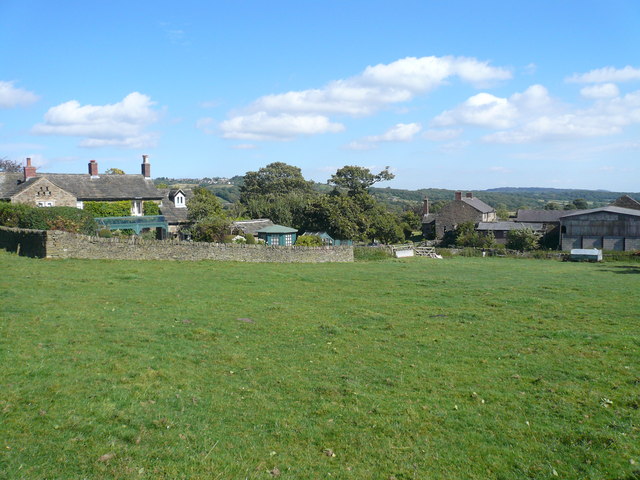 Farmhouses on Unthank Lane | |
 Unthank Location within Derbyshire | |
| OS grid reference | SK307760 |
| District | |
| Shire county |
|
| Region |
|
| Country | England |
| Sovereign state | United Kingdom |
| Post town | DRONFIELD |
| Postcode district | S18 |
| Police | Derbyshire |
| Fire | Derbyshire |
| Ambulance | East Midlands |
| UK Parliament |
|
On 6 May 1970, a USAF McDonnell-Douglas RF-4C crashed in the nearby Stripes Wood while doing a NATO training exercise. Both crew men ejected and landed at Curbar Edge.[2]
References
- "Unthank, North East Derbyshire - area information, map, walks and more". OS GetOutside. Retrieved 1 May 2018.
- "1970 Air Crash - Unthank, North Derbyshire". nicwhe8.freehostia.com. Retrieved 1 May 2018.
This section is empty. You can help by adding to it. (March 2013) |
External links
![]() Media related to Unthank, Derbyshire at Wikimedia Commons
Media related to Unthank, Derbyshire at Wikimedia Commons
This Derbyshire location article is a stub. You can help Wikipedia by expanding it. |
Текст в блоке "Читать" взят с сайта "Википедия" и доступен по лицензии Creative Commons Attribution-ShareAlike; в отдельных случаях могут действовать дополнительные условия.
Другой контент может иметь иную лицензию. Перед использованием материалов сайта WikiSort.org внимательно изучите правила лицензирования конкретных элементов наполнения сайта.
Другой контент может иметь иную лицензию. Перед использованием материалов сайта WikiSort.org внимательно изучите правила лицензирования конкретных элементов наполнения сайта.
2019-2025
WikiSort.org - проект по пересортировке и дополнению контента Википедии
WikiSort.org - проект по пересортировке и дополнению контента Википедии