world.wikisort.org - United_Kingdom
Thornton is a village and civil parish in the East Riding of Yorkshire, England. It is situated approximately 3.5 miles (5.6 km) south-west of the town of Pocklington and 5 miles (8 km) north-west of the village of Holme-on-Spalding-Moor. It lies just to the north of the Pocklington Canal.
| Thornton | |
|---|---|
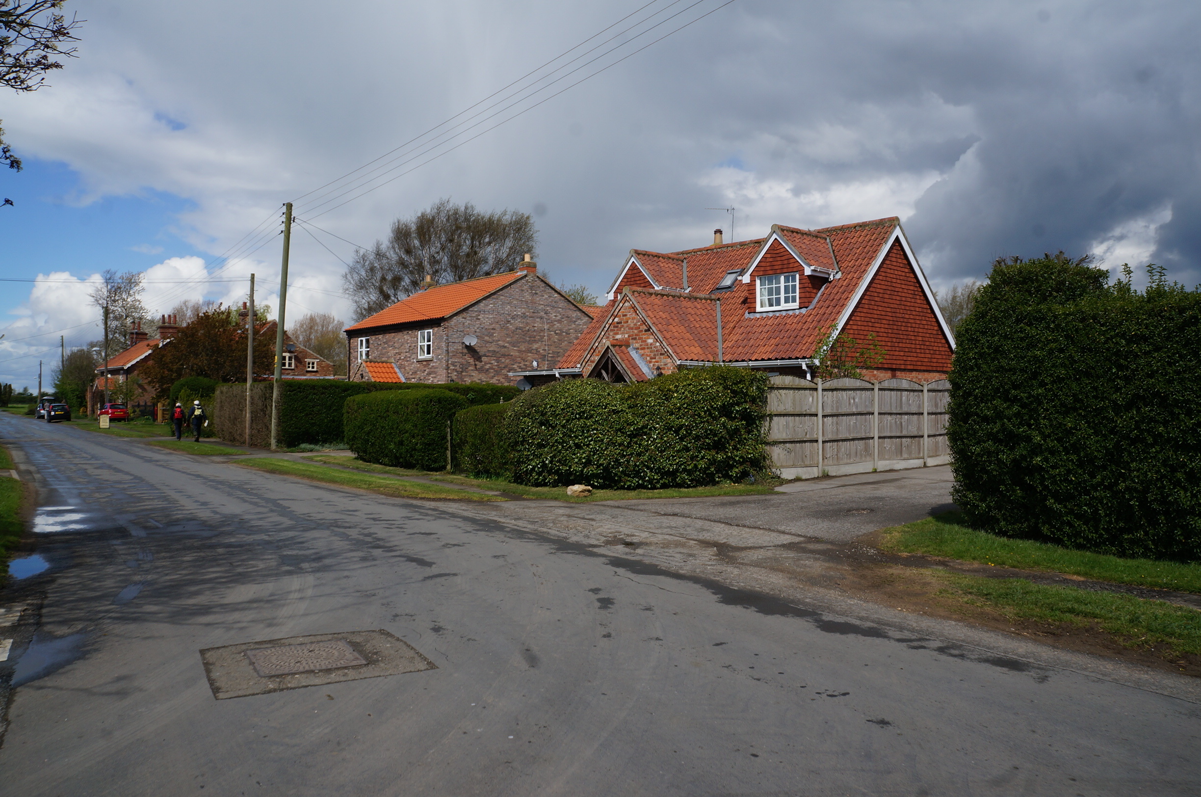 Street in Thornton | |
 Thornton Location within the East Riding of Yorkshire | |
| Population | 138 (2011 census)[1] |
| OS grid reference | SE759453 |
| Civil parish |
|
| Unitary authority |
|
| Ceremonial county |
|
| Region |
|
| Country | England |
| Sovereign state | United Kingdom |
| Post town | YORK |
| Postcode district | YO42 |
| Dialling code | 01759 |
| Police | Humberside |
| Fire | Humberside |
| Ambulance | Yorkshire |
| UK Parliament |
|
According to the 2011 UK census, Thornton parish had a population of 138,[1] exactly the same as on the 2001 UK census.[2]
The village was historically sometimes distinguished by the suffix "in Spalding Moor".[3]
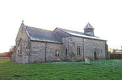
The parish church of St Michael on Main Street is designated a Grade II* listed building.[4]
The other listed structures in the parish are Walbut Lock and Walbut Bridge on the Pocklington Canal, both of which are Grade II listed.[5][6]
References
- UK Census (2011). "Local Area Report – Thornton Parish (1170211275)". Nomis. Office for National Statistics. Retrieved 26 February 2018.
- UK Census (2001). "Local Area Report – Thornton Parish (00FB146)". Nomis. Office for National Statistics. Retrieved 3 March 2020.
- Allison, K.J., ed. (1976). "Parishes: Thornton". Victoria County History. A History of the County of York East Riding: Volume 3. Institute of Historical Research. Retrieved 2 May 2020.
- Historic England. "Church of St Michael (1346434)". National Heritage List for England. Retrieved 10 March 2013.
- Historic England. "Pocklington Canal Walbut Lock (1083859)". National Heritage List for England. Retrieved 25 February 2017.
- Historic England. "Pocklington Canal Walbut Bridge (1309793)". National Heritage List for England. Retrieved 25 February 2017.
- Gazetteer — A–Z of Towns Villages and Hamlets. East Riding of Yorkshire Council. 2006. p. 11.
External links
- Thornton in the Domesday Book
This East Riding of Yorkshire location article is a stub. You can help Wikipedia by expanding it. |
Другой контент может иметь иную лицензию. Перед использованием материалов сайта WikiSort.org внимательно изучите правила лицензирования конкретных элементов наполнения сайта.
WikiSort.org - проект по пересортировке и дополнению контента Википедии