world.wikisort.org - United_Kingdom
Storrington and Sullington is the name of a civil parish in the Horsham District of West Sussex, England. The two villages are near the A24 road sixteen miles (26 km) south of Horsham.
| Storrington and Sullington | |
|---|---|
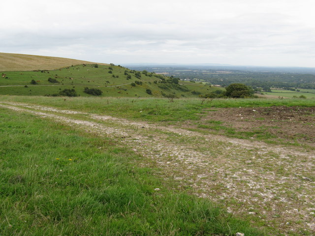 Sullington Hill,Storrington | |
 Storrington and Sullington Location within West Sussex | |
| Area | 12.00 km2 (4.63 sq mi) [1] |
| Population | 6,074 [1] 2001 Census 6,966 (2011 Census)[2] |
| • Density | 506/km2 (1,310/sq mi) |
| OS grid reference | TQ086142 |
| • London | 43 miles (69 km) NNE |
| Civil parish |
|
| District |
|
| Shire county |
|
| Region |
|
| Country | England |
| Sovereign state | United Kingdom |
| Post town | PULBOROUGH |
| Postcode district | RH20 |
| Dialling code | 01903 |
| Police | Sussex |
| Fire | West Sussex |
| Ambulance | South East Coast |
| UK Parliament |
|
| Website | http://www.storrington.org.uk/ |
The civil parish has a land area of 1,200 hectares (3,000 acres). In the 2001 census 6074 people lived in 2778 households of whom 2563 were economically active. At the 2011 Census the population had increased to 6,966.[2] In 2018 there was a recorded 8,955 people living in the Storrington area.
See also
References
- "2001 Census: West Sussex – Population by Parish" (PDF). West Sussex County Council. Archived from the original (PDF) on 8 June 2011. Retrieved 12 April 2009.
- "Civil parish population 2011". Neighbourhood Statistics. Office for National Statistics. Retrieved 3 October 2016.
External links
This West Sussex location article is a stub. You can help Wikipedia by expanding it. |
Текст в блоке "Читать" взят с сайта "Википедия" и доступен по лицензии Creative Commons Attribution-ShareAlike; в отдельных случаях могут действовать дополнительные условия.
Другой контент может иметь иную лицензию. Перед использованием материалов сайта WikiSort.org внимательно изучите правила лицензирования конкретных элементов наполнения сайта.
Другой контент может иметь иную лицензию. Перед использованием материалов сайта WikiSort.org внимательно изучите правила лицензирования конкретных элементов наполнения сайта.
2019-2025
WikiSort.org - проект по пересортировке и дополнению контента Википедии
WikiSort.org - проект по пересортировке и дополнению контента Википедии