world.wikisort.org - United_Kingdom
Stockdalewath is a small village in Cumbria, approximately 7.5 miles south of Carlisle in the extreme northwest of England. It is located on the River Roe, and is in the civil parish of Dalston.
| Stockdalewath | |
|---|---|
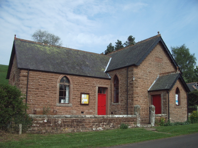 The Stockdalewath Methodist Church | |
 Stockdalewath Location in the City of Carlisle district, Cumbria  Stockdalewath Location within Cumbria | |
| Population | 74 |
| OS grid reference | NY385445 |
| • London | 257 mi (414 km) SSE |
| Civil parish | |
| District |
|
| Shire county |
|
| Region |
|
| Country | England |
| Sovereign state | United Kingdom |
| Post town | CARLISLE |
| Postcode district | CA5 |
| Dialling code | 01228 |
| Police | Cumbria |
| Fire | Cumbria |
| Ambulance | North West |
| UK Parliament |
|
As of the 2011 census, the population is estimated to be 74.[1][2][3]
Archaeological evidence, mostly based on aerial surveys of crop marks, suggests that Stockdalewath was a rural settlement in Roman Cumbria.[4][5] Within a half mile of the village are three camps thought to be Roman, with the names Castlesteads, Stoneraise, and Shitestones. They are equal distance from each other and form a triangle.[6]
Notable people
- Susanna Blamire, poet known as The Muse of Cumberland; raised in Stockdalewath
See also
- Listed buildings in Dalston, Cumbria
References
- "CA5 7DP a residential and agricultural postcode in Stockdalewath, Cumbria". Retrieved 14 September 2017.
This part of Stockdalewath has a population of 47.
- "CA5 7DN a mixed residential, non-residential and agricultural postcode in Stockdalewath, Cumbria". Retrieved 14 September 2017.
This part of Stockdalewath has a population of 27.
- "Dalston Parish Plan 2005-2015" (PDF). Dalston Parish Council. Retrieved 8 September 2017.
- Higham & Jones (1985), pp. 68-95.
- Shotter (2004), pp. 132-147.
- Moss, Albert Barnes (1881). Historical & Descriptive Guide to Carlisle and District (4th ed.). A.B. Moss. p. 276. Retrieved 21 January 2018.
Sources
- Higham, N.J.; Jones, G.D.B. (1985). The Carvetii. Peoples of Roman Britain. Stroud: Alan Sutton. pp. xiii, 1–158. ISBN 0862990882.
- Shotter, David (2004). Romans and Britons in North-West England (3rd ed.). Lancaster: Centre for North-West Regional Studies, University of Lancaster. pp. xii, 204. ISBN 1862201528.
External links
Wikimedia Commons has media related to Stockdalewath.
- "Geographical Information for Stockdalewath". Collins Maps. Archived from the original on 27 March 2012.
- "Old Photos, Historic Maps, Local History Books and Memories of Stockdalewath". Francis Frith. Retrieved 12 May 2022.
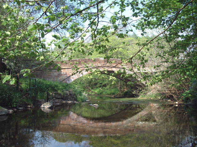
- Roe Beck level at Stockdalewath
This Cumbria location article is a stub. You can help Wikipedia by expanding it. |
Текст в блоке "Читать" взят с сайта "Википедия" и доступен по лицензии Creative Commons Attribution-ShareAlike; в отдельных случаях могут действовать дополнительные условия.
Другой контент может иметь иную лицензию. Перед использованием материалов сайта WikiSort.org внимательно изучите правила лицензирования конкретных элементов наполнения сайта.
Другой контент может иметь иную лицензию. Перед использованием материалов сайта WikiSort.org внимательно изучите правила лицензирования конкретных элементов наполнения сайта.
2019-2025
WikiSort.org - проект по пересортировке и дополнению контента Википедии
WikiSort.org - проект по пересортировке и дополнению контента Википедии