world.wikisort.org - United_Kingdom
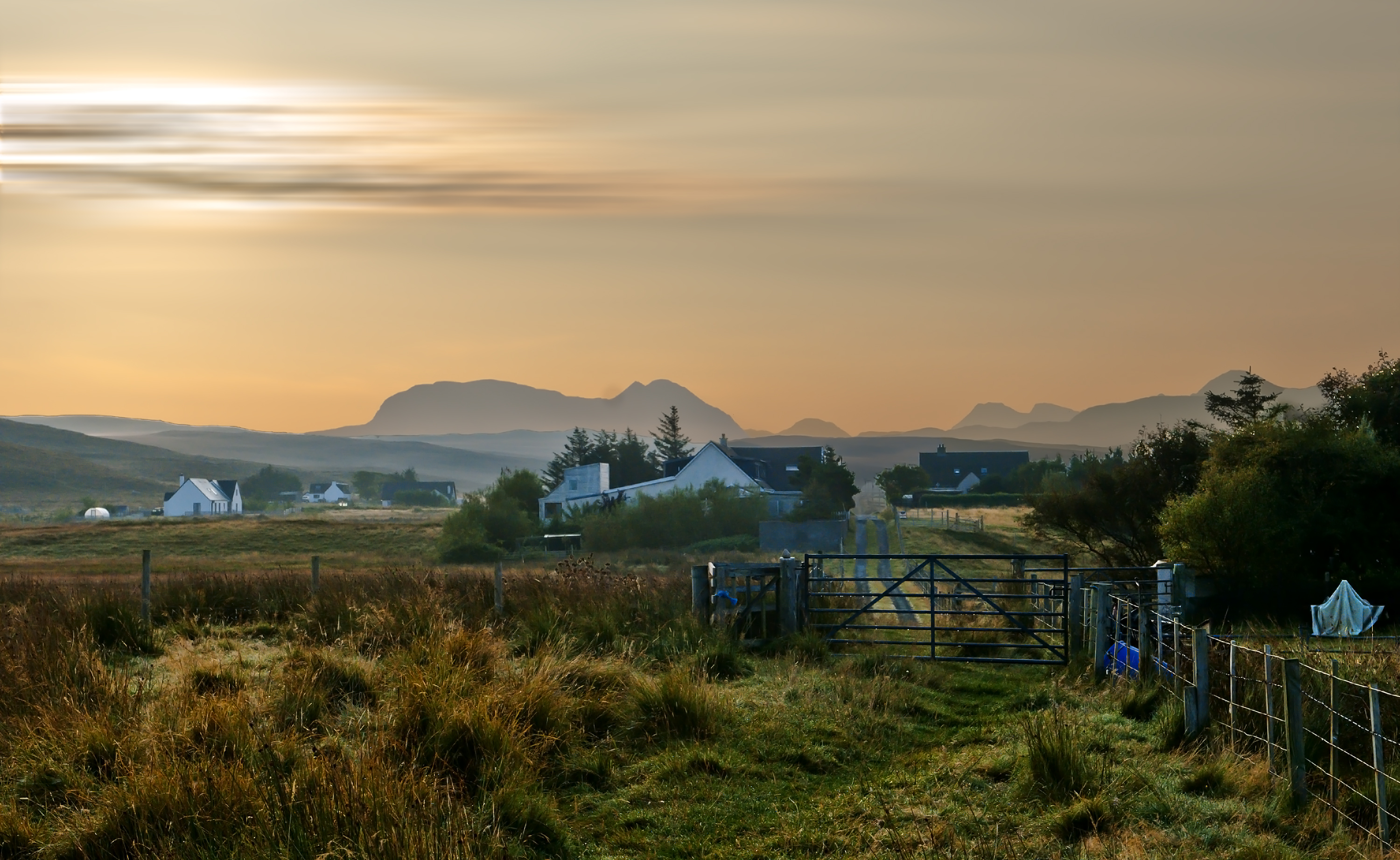
South Erradale is a small hamlet, situated on the coastline and to the southwest of Gairloch[1] in Ross and Cromarty, Scottish Highlands[2] and is in the Scottish council area of Highland.
| South Erradale | |
|---|---|
 South Erradale | |
 South Erradale Location within the Ross and Cromarty area | |
| OS grid reference | NG756707 |
| Council area |
|
| Country | Scotland |
| Sovereign state | United Kingdom |
| Post town | Gairloch |
| Postcode district | IV21 2 |
| Police | Scotland |
| Fire | Scottish |
| Ambulance | Scottish |
South Erradale lies one mile (1.5 kilometres) south of Opinan and two miles (three kilometres) southeast of Port Henderson along the B8056 coast road and three miles (five kilometres) north east of Redpoint.
References
- The Mineralogical Magazine and Journal of the Mineralogical Society. Vol. VII. London: H. Milford, Oxford University Press. 1887. p. 78.
- Microsoft; Nokia (26 February 2017). "South Erradale" (Map). Bing Maps. Microsoft. Retrieved 26 February 2017.
This Highland location article is a stub. You can help Wikipedia by expanding it. |
Текст в блоке "Читать" взят с сайта "Википедия" и доступен по лицензии Creative Commons Attribution-ShareAlike; в отдельных случаях могут действовать дополнительные условия.
Другой контент может иметь иную лицензию. Перед использованием материалов сайта WikiSort.org внимательно изучите правила лицензирования конкретных элементов наполнения сайта.
Другой контент может иметь иную лицензию. Перед использованием материалов сайта WikiSort.org внимательно изучите правила лицензирования конкретных элементов наполнения сайта.
2019-2025
WikiSort.org - проект по пересортировке и дополнению контента Википедии
WikiSort.org - проект по пересортировке и дополнению контента Википедии