world.wikisort.org - United_Kingdom
Sandon is a village and civil parish in the North Hertfordshire district, in the county of Hertfordshire, England. Sandon is located near the towns of Baldock and Buntingford. The parish also includes the hamlets of Green End and Roe Green, and Blagrove Common, a nature reserve. At the 2011 Census the population of the civil parish was 495.[1]
| Sandon | |
|---|---|
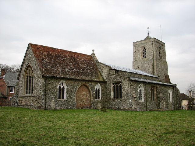 All Saints' Church, Sandon | |
 Sandon Location within Hertfordshire | |
| Population | 495 (2011 Census)[1] |
| OS grid reference | TL322344 |
| District | |
| Shire county |
|
| Region |
|
| Country | England |
| Sovereign state | United Kingdom |
| Post town | Buntingford |
| Postcode district | SG9 |
| Dialling code | 01763 |
| Police | Hertfordshire |
| Fire | Hertfordshire |
| Ambulance | East of England |
| UK Parliament |
|
Sandon has 47 listed buildings, including
- one of Britain's estimated 200 medieval barns, the construction of which has been dendrochronologically dated to 1266–68.[2]
- All Saints Church.
The Icknield Way Path passes through the village on its 110-mile (180 km) journey from Ivinghoe Beacon in Buckinghamshire to Knettishall Heath in Suffolk.
References
- "Sandon Parish". NOMIS. Office for National Statistics. Retrieved 4 November 2021.
- Index of tree-ring dated buildings in England - Hertfordshire. Vernacular Architecture Group.
Wikimedia Commons has media related to Sandon.
External links
This Hertfordshire location article is a stub. You can help Wikipedia by expanding it. |
Текст в блоке "Читать" взят с сайта "Википедия" и доступен по лицензии Creative Commons Attribution-ShareAlike; в отдельных случаях могут действовать дополнительные условия.
Другой контент может иметь иную лицензию. Перед использованием материалов сайта WikiSort.org внимательно изучите правила лицензирования конкретных элементов наполнения сайта.
Другой контент может иметь иную лицензию. Перед использованием материалов сайта WikiSort.org внимательно изучите правила лицензирования конкретных элементов наполнения сайта.
2019-2025
WikiSort.org - проект по пересортировке и дополнению контента Википедии
WikiSort.org - проект по пересортировке и дополнению контента Википедии