world.wikisort.org - United_Kingdom
Riplingham is a hamlet in the East Riding of Yorkshire, England. It is situated approximately 7 miles (11 km) south-west of Beverley and 3 miles (4.8 km) east of South Cave, on the crossroads that link (broadly speaking) South Cave, Welton, North Newbald and Raywell.
| Riplingham | |
|---|---|
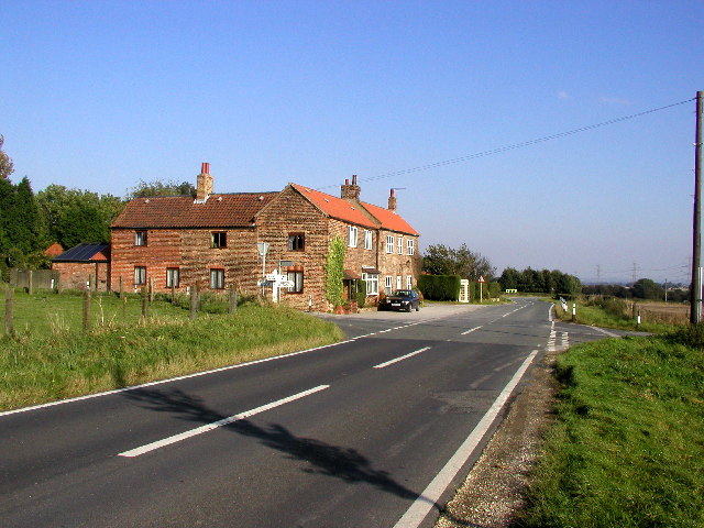 Riplingham Crossroads | |
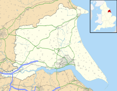  Riplingham Location within the East Riding of Yorkshire | |
| OS grid reference | SE963319 |
| Civil parish | |
| Unitary authority |
|
| Ceremonial county |
|
| Region |
|
| Country | England |
| Sovereign state | United Kingdom |
| Post town | COTTINGHAM BROUGH |
| Postcode district | HU20 HU15 |
| Dialling code | 01482 01430 |
| Police | Humberside |
| Fire | Humberside |
| Ambulance | Yorkshire |
| UK Parliament |
|
Riplingham is part in the civil parish of Rowley and part in the civil parish of South Cave.
It has no shops, but does have a good view of Hull, and the surrounding area, including the River Humber and its south bank.
It is also the site of a medieval village.
In 1955 a Ham class minesweeper HMS Riplingham was named after the village.
References
- Gazetteer — A–Z of Towns Villages and Hamlets. East Riding of Yorkshire Council. 2006. p. 9.
External links

Wikimedia Commons has media related to Riplingham.
- Riplingham in the Domesday Book


 | This East Riding of Yorkshire location article is a stub. You can help Wikipedia by expanding it. |
Текст в блоке "Читать" взят с сайта "Википедия" и доступен по лицензии Creative Commons Attribution-ShareAlike; в отдельных случаях могут действовать дополнительные условия.
Другой контент может иметь иную лицензию. Перед использованием материалов сайта WikiSort.org внимательно изучите правила лицензирования конкретных элементов наполнения сайта.
Другой контент может иметь иную лицензию. Перед использованием материалов сайта WikiSort.org внимательно изучите правила лицензирования конкретных элементов наполнения сайта.
2019-2026
WikiSort.org - проект по пересортировке и дополнению контента Википедии
WikiSort.org - проект по пересортировке и дополнению контента Википедии