world.wikisort.org - United_Kingdom
Rimswell is a village and civil parish in the East Riding of Yorkshire, England, in an area known as Holderness. It is situated approximately 2 miles (3 km) north-west of Withernsea and it lies between the B1243 and B1362 roads.

| Rimswell | |
|---|---|
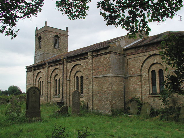 St Mary's Church | |
 Rimswell Location within the East Riding of Yorkshire | |
| Population | 235 (2011 census)[1] |
| OS grid reference | TA312287 |
| • London | 155 mi (249 km) S |
| Civil parish |
|
| Unitary authority |
|
| Ceremonial county |
|
| Region |
|
| Country | England |
| Sovereign state | United Kingdom |
| Post town | WITHERNSEA |
| Postcode district | HU19 |
| Dialling code | 01964 |
| Police | Humberside |
| Fire | Humberside |
| Ambulance | Yorkshire |
| UK Parliament | |
The civil parish is formed by the village of Rimswell and the hamlet of Waxholme. According to the 2011 UK census, Rimswell parish had a population of 235,[1] an increase on the 2001 UK census figure of 198.[2]
The parish church of St Mary (now closed) is a Grade II listed building.[3]
The Prime Meridian passes just to the east of Rimswell.
In 1823 Rimswell was in the parish of Owthorne, a village since lost to coastal erosion. Rimswell inhabitants numbered 129, and occupations included ten farmers, some of whom were land owners, a grocer, and the landlord of the Dog and Duck public house. A carrier operated between the village and Hull on Tuesdays.[4][5]
References
- UK Census (2011). "Local Area Report – Rimswell Parish (1170211244)". Nomis. Office for National Statistics. Retrieved 23 February 2018.
- UK Census (2001). "Local Area Report – Rimswell Parish (00FB115)". Nomis. Office for National Statistics. Retrieved 3 March 2020.
- Historic England. "Church of St Mary (1083462)". National Heritage List for England. Retrieved 6 February 2013.
- Baines, Edward (1823). History, Directory & Gazetteer of the County of York. p. 582. ISBN 1230139141.
- "Lost Villages; Owthorne and Withernsea - the Sisterkirkes" (PDF). Archived from the original (PDF) on 23 May 2014. Retrieved 23 May 2014.
- Gazetteer — A–Z of Towns Villages and Hamlets. East Riding of Yorkshire Council. 2006. p. 9.
External links
![]() Media related to Rimswell at Wikimedia Commons
Media related to Rimswell at Wikimedia Commons
- Historic England. "St Mary's Church (1083462)". National Heritage List for England.
- Rimswell in the Domesday Book
This East Riding of Yorkshire location article is a stub. You can help Wikipedia by expanding it. |
Другой контент может иметь иную лицензию. Перед использованием материалов сайта WikiSort.org внимательно изучите правила лицензирования конкретных элементов наполнения сайта.
WikiSort.org - проект по пересортировке и дополнению контента Википедии