world.wikisort.org - United_Kingdom
Redpath (Scots: Rippath[2]) is a small village located between the larger settlements of Earlston, 2 miles (3.2 km) to the north, and St Boswells, 3 miles (4.8 km) to the south, in the historic county of Berwickshire within the Scottish Borders. The Leader Water runs past the west end of the village.
Redpath
| |
|---|---|
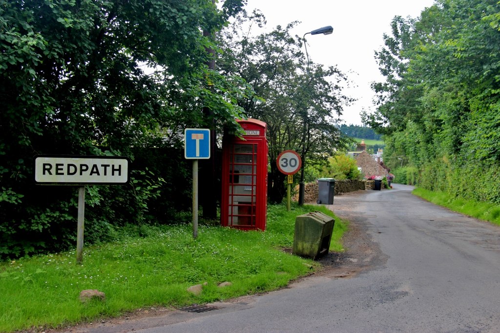 Village entrance | |
 Redpath Location within the Scottish Borders | |
| Population | 56 (2001)[1] |
| OS grid reference | NT583357 |
| • Edinburgh | 31 mi (50 km) NW |
| Civil parish |
|
| Community council |
|
| Council area | |
| Lieutenancy area |
|
| Country | Scotland |
| Sovereign state | United Kingdom |
| Post town | EARLSTON |
| Postcode district | TD4 |
| Dialling code | 01896 |
| Police | Scotland |
| Fire | Scottish |
| Ambulance | Scottish |
| UK Parliament |
|
| Scottish Parliament |
|
Gallery
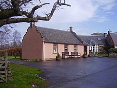 Redpath Village Hall
 Redpath Village
 Leader Water outside Redpath
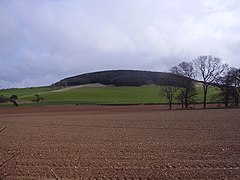 Redpath Hill


See also
- List of places in the Scottish Borders
- List of places in Scotland
References
- Local Development Plan Volume 2 (Report). Scottish Borders Council. 2016. pp. 463–465.
- "Rippath". Dictionary of the Scots Language. Scottish Language Dictionaries Ltd. 2004. Retrieved 26 December 2021.
This Scottish Borders location article is a stub. You can help Wikipedia by expanding it. |
Текст в блоке "Читать" взят с сайта "Википедия" и доступен по лицензии Creative Commons Attribution-ShareAlike; в отдельных случаях могут действовать дополнительные условия.
Другой контент может иметь иную лицензию. Перед использованием материалов сайта WikiSort.org внимательно изучите правила лицензирования конкретных элементов наполнения сайта.
Другой контент может иметь иную лицензию. Перед использованием материалов сайта WikiSort.org внимательно изучите правила лицензирования конкретных элементов наполнения сайта.
2019-2026
WikiSort.org - проект по пересортировке и дополнению контента Википедии
WikiSort.org - проект по пересортировке и дополнению контента Википедии