world.wikisort.org - United_Kingdom
Rawcliffe Bridge is a small hamlet in the East Riding of Yorkshire, England. It is situated approximately 3 miles (4.8 km) south-west of Goole and lies just south of the M62 motorway.
| Rawcliffe Bridge | |
|---|---|
 Rawcliffe Bridge Location within the East Riding of Yorkshire | |
| OS grid reference | SE700212 |
| Civil parish |
|
| Unitary authority |
|
| Ceremonial county |
|
| Region |
|
| Country | England |
| Sovereign state | United Kingdom |
| Post town | GOOLE |
| Postcode district | DN14 |
| Dialling code | 01405 |
| Police | Humberside |
| Fire | Humberside |
| Ambulance | Yorkshire |
| UK Parliament |
|
It forms part of the civil parish of Rawcliffe which lies just to the north-west. The hamlet was once served by a station on the Selby to Goole branch line, but this closed along with the line in June 1964.
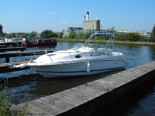
The Aire and Calder Navigation runs just south of Rawcliffe Bridge. Sugar Mill Ponds lies just to the west and is designated as a Local Nature Reserve and was part funded by lottery money.
Rawcliffe Bridge is home to an ex-RAF hardened communications UNITER bunker which is now owned by a security company, next to this site also is a MoD GPSS fuel depot.
References
- Gazetteer — A–Z of Towns Villages and Hamlets. East Riding of Yorkshire Council. 2006. p. 9.
External links
| Wikimedia Commons has media related to Rawcliffe Bridge. |
This East Riding of Yorkshire location article is a stub. You can help Wikipedia by expanding it. |
Другой контент может иметь иную лицензию. Перед использованием материалов сайта WikiSort.org внимательно изучите правила лицензирования конкретных элементов наполнения сайта.
WikiSort.org - проект по пересортировке и дополнению контента Википедии