world.wikisort.org - United_Kingdom
Porthmeor (from Cornish: Porth Meur, meaning "large cove")[1] is a hamlet[2] that consists of two farms, Higher and Lower Porthmeor, in the parish of Zennor in Cornwall, England.[3] It should not be confused with Porthmeor beach at St Ives. Higher Porthmeor lies along the B3306 road which connects St Ives to the A30 road and Lower Porthmeor is nearer the coast.[4]
| Porthmeor | |
|---|---|
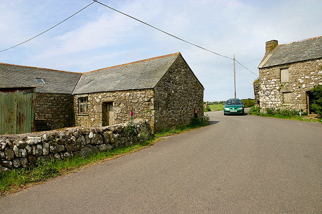 The main road (B3306) between St Ives and St Just at Porthmeor | |
 Porthmeor Location within Cornwall | |
| OS grid reference | SW431371 |
| Civil parish |
|
| Unitary authority |
|
| Ceremonial county | |
| Region | |
| Country | England |
| Sovereign state | United Kingdom |
Porthmeor lies within the Cornwall Area of Outstanding Natural Beauty (AONB). Almost a third of Cornwall has AONB designation, with the same status and protection as a National Park.
See also
- List of farms in Cornwall
References
- Craig Weatherhill (2017). The Place-Names of the Land's End Peninsula. Penwith Press. p. 101. ISBN 9781999777500.
- "Please refine your search". Geograph Britain and Ireland. Retrieved 10 August 2021.
- "Porthmeor, Cornwall - area information, map, walks and more". OS GetOutside. Retrieved 5 January 2020.
- Ordnance Survey Explorer 7; Land's End, Penzance and St. Ives, 1:25 000. 1996
Cornwall Portal | |
| Unitary authorities |
|
| Major settlements |
|
| Rivers | |
| Topics |
|
This article about a location in the former district of Penwith, Cornwall is a stub. You can help Wikipedia by expanding it. |
Текст в блоке "Читать" взят с сайта "Википедия" и доступен по лицензии Creative Commons Attribution-ShareAlike; в отдельных случаях могут действовать дополнительные условия.
Другой контент может иметь иную лицензию. Перед использованием материалов сайта WikiSort.org внимательно изучите правила лицензирования конкретных элементов наполнения сайта.
Другой контент может иметь иную лицензию. Перед использованием материалов сайта WikiSort.org внимательно изучите правила лицензирования конкретных элементов наполнения сайта.
2019-2025
WikiSort.org - проект по пересортировке и дополнению контента Википедии
WikiSort.org - проект по пересортировке и дополнению контента Википедии