world.wikisort.org - United_Kingdom
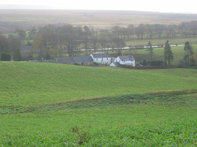
Nine Mile Burn is a hamlet in Midlothian, Scotland,[1] the last in Midlothian when heading south on the A702 road.
| Nine Mile Burn | |
|---|---|
 Nine Mile Burn | |
 Nine Mile Burn Location within Midlothian | |
| OS grid reference | NT175576 |
| Council area |
|
| Lieutenancy area |
|
| Country | Scotland |
| Sovereign state | United Kingdom |
| Post town | PENICUIK |
| Postcode district | EH26 |
| Dialling code | 01968 |
| Police | Scotland |
| Fire | Scottish |
| Ambulance | Scottish |
| UK Parliament |
|
| Scottish Parliament |
|

It is located at the foot of the Pentland Hills, near Penicuik and about 2 km north-east of the village of Carlops.
References
- "Nine Mile Burn: Overview". Gazetteer for Scotland. Retrieved 31 July 2018.
External links
Wikimedia Commons has media related to Nine Mile Burn.
Authority control | |
|---|---|
| General | |
| National libraries | |
This Midlothian location article is a stub. You can help Wikipedia by expanding it. |
Текст в блоке "Читать" взят с сайта "Википедия" и доступен по лицензии Creative Commons Attribution-ShareAlike; в отдельных случаях могут действовать дополнительные условия.
Другой контент может иметь иную лицензию. Перед использованием материалов сайта WikiSort.org внимательно изучите правила лицензирования конкретных элементов наполнения сайта.
Другой контент может иметь иную лицензию. Перед использованием материалов сайта WikiSort.org внимательно изучите правила лицензирования конкретных элементов наполнения сайта.
2019-2025
WikiSort.org - проект по пересортировке и дополнению контента Википедии
WikiSort.org - проект по пересортировке и дополнению контента Википедии