world.wikisort.org - United_Kingdom
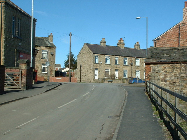
Netherton is a village in the City of Wakefield metropolitan borough of West Yorkshire, England. It lies about 4 miles south-west of Wakefield, 3 miles south of Ossett, 1 mile south of Horbury. The village is in the Wakefield Rural ward of Wakefield Metropolitan District Council. The village name is shown on map "Dvcatvs Eboracensis pars occidentalis" from 1646.[1]
| Netherton | |
|---|---|
 Netherton | |
 Netherton Location within West Yorkshire | |
| OS grid reference | SE2716 |
| Metropolitan borough |
|
| Metropolitan county | |
| Region |
|
| Country | England |
| Sovereign state | United Kingdom |
| Post town | Wakefield |
| Postcode district | WF4 |
| Dialling code | 01924 |
| Police | West Yorkshire |
| Fire | West Yorkshire |
| Ambulance | Yorkshire |
| UK Parliament |
|
The h was dropped from nearby Shitlington and Sitlington was adopted in 1929 with the approval of the county council.[2]
History
Netherton, originally Nether Shitlington was, with Over Shitlington (Overton) and Middle Shitlington (Middlestown), part of the township of Shitlington in the ancient ecclesiastical parish of Thornhill in the wapentake of Agbrigg and Morley in the West Riding of Yorkshire.[3] A Mesolithic axe was found near the Star Inn in 1963. Shitlington was probably settled in Anglo-Saxon times and was recorded in the Domesday Book as Schellingtone.[4]
Netherton Hall, a Grade II* listed manor house, was built around 1775 for the Perkins family.[5] St Andrew's Church was built in 1881 to the design of J. D. Sedding.[6]
Coal mining
A mineral line connecting Sir John Lister Lister-Kaye's Caphouse Colliery to the Lancashire and Yorkshire Railway's Barnsley branch and coal staithes on the Calder and Hebble Navigation at Calder Grove passed through Netherton. It passed the hamlet of Little London on South Lane where the company owned the Victoria Pit.[7] The Prince of Wales Pit, locally known as Wood Pit, was sunk near the line near New Hall Wood in 1870 and its shaft was deepened and widened in 1882. A second shaft was sunk 12 years later. A drift was driven in 1926 and another 30 years later. At nationalisation in 1947 the pit was named Denby Grange (Prince of Wales). It merged with Caphouse Colliery in 1981 and closed in August 1991.[8] Its site is now occupied by Earnshaws who have operated a timber business in Midgley since 1860.[9]
Hartley Bank Colliery was sunk in 1872 on the south side of the Calder and Hebble Navigation and closed in 1968.[10] A disaster in May 1924 when firedamp ignited killed five miners and injured 26 men.[11]
Geography
The village is situated on the road from Horbury Bridge to Midgley, the B6117, on a hill above the valley of the River Calder. The underlying geology comprises the Coal Measures of the South Yorkshire Coalfield.[3]
Notable people
The members of indie rock band The Cribs are originally from Netherton.
See also
- Listed buildings in Sitlington
References
- "Dvcatvs Eboracensis pars occidentalis". OldMapsOnline.org. Retrieved 24 July 2020.
{{cite web}}: CS1 maint: url-status (link) - Woodall 1977, p. foreword
- Lewis, Samuel (1848), "Shitlington", A Topographical Dictionary of England, British History Online, pp. 85–87, retrieved 1 January 2015
- Woodall 1977, p. 1
- Historic England. "Netherton Hall (1300218)". National Heritage List for England. Retrieved 1 January 2015.
- Historic England. "Church of St Andrew (1135521)". National Heritage List for England. Retrieved 1 January 2015.
- Till 2007, p. 37
- "Mines of Coal 1854" (PDF), Northern Mine Research Society, p. 26, archived from the original (PDF) on 20 December 2014, retrieved 1 January 2015
- "The History of Earnshaws Fencing Centres", Earnshaws, retrieved 1 January 2015
- "Mines of Coal 1854" (PDF), Northern Mine Research Society, p. 44, archived from the original (PDF) on 20 December 2014, retrieved 1 January 2015
- Historic England. "Hartley Bank Colliery (1482101)". Research records (formerly PastScape). Retrieved 1 January 2015.
Bibliography
- Till, Malcolm (2007), Caphouse to Calder Grove, National Coal Mining Museum for England Publications, ISBN 978-1-872925-11-0
- Woodall, R.D. (1977), The Sitlington Story, Wakefield Council
External links
![]() Media related to Netherton, Wakefield at Wikimedia Commons
Media related to Netherton, Wakefield at Wikimedia Commons
Другой контент может иметь иную лицензию. Перед использованием материалов сайта WikiSort.org внимательно изучите правила лицензирования конкретных элементов наполнения сайта.
WikiSort.org - проект по пересортировке и дополнению контента Википедии