world.wikisort.org - United_Kingdom
Nantmawr is a village in Shropshire, England. It is located about 5 miles south west of Oswestry and close to the Welsh border. The Offa's Dyke Path runs through the village.
This article does not cite any sources. (June 2019) |
| Nantmawr | |
|---|---|
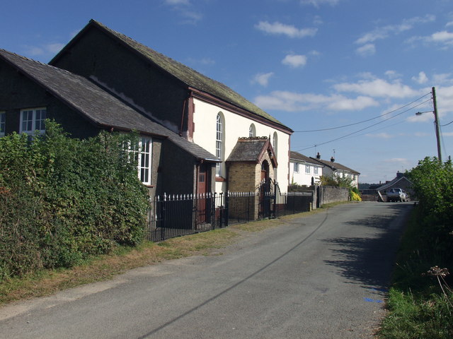 Wesleyan Chapel, Nantmawr This is not Nantmawr Chapel but Cefnblodwel (approx. 1 mile away) | |
 Nantmawr Location within Shropshire | |
| OS grid reference | SJ248244 |
| Civil parish | |
| Unitary authority |
|
| Ceremonial county |
|
| Region |
|
| Country | England |
| Sovereign state | United Kingdom |
| Post town | OSWESTRY |
| Postcode district | SY10 |
| Dialling code | 01691 |
| Police | West Mercia |
| Fire | Shropshire |
| Ambulance | West Midlands |
| UK Parliament |
|
Like many of the towns in the Welsh Marches, the area was formerly Welsh speaking, and its name means "big stream".
The village also forms the terminus of the surviving stub of the former Potteries, Shrewsbury & North Wales Railway, better known as the 'Potts Line', which is currently being re-opened as a heritage railway by the Tanat Valley Light Railway Company.
Nantmawr has a nature reserve known as "Jones' Rough" managed by Shropshire Wildlife Trust. It is a breeding place for the pearl-bordered fritillary butterfly.
External links
This Shropshire location article is a stub. You can help Wikipedia by expanding it. |
Другой контент может иметь иную лицензию. Перед использованием материалов сайта WikiSort.org внимательно изучите правила лицензирования конкретных элементов наполнения сайта.
WikiSort.org - проект по пересортировке и дополнению контента Википедии