world.wikisort.org - United_Kingdom
Lydham is a small village and civil parish in Shropshire, England.
| Lydham | |
|---|---|
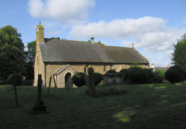 Lydham church | |
 Lydham Location within Shropshire | |
| Population | 189 (2011)[1] |
| OS grid reference | SO334909 |
| Civil parish |
|
| Unitary authority |
|
| Ceremonial county |
|
| Region |
|
| Country | England |
| Sovereign state | United Kingdom |
| Post town | BISHOPS CASTLE |
| Postcode district | SY9 |
| Dialling code | 01588 |
| Police | West Mercia |
| Fire | Shropshire |
| Ambulance | West Midlands |
| UK Parliament |
|
Lydham is situated on the junction of the A488 and the A489 main roads, about 2 miles (3.2 km) north of Bishop's Castle.[2]
There is a market held on Fridays in the village hall. Close by is the small village and separate parish of More.
History
Two miles to the south-east, in the parish of Lydham, are the fragmentary remains of Lea Castle, adjoining a modern farmhouse at Lower Lea.[3]
Railway
Lydham was served by the now defunct Bishops Castle Railway which closed in 1935. The station was nearby at Lydham Heath.
See also
- Listed buildings in Lydham
References
- "Civil Parish population 2011". Retrieved 22 November 2015.
- Ordnance Survey mapping
- "REMAINS OF LEA CASTLE ADJOINING LOWER LEA FARMHOUSE TO NORTH, Lydham - 1054509 | Historic England".
External links
Wikimedia Commons has media related to Lydham.
This Shropshire location article is a stub. You can help Wikipedia by expanding it. |
Текст в блоке "Читать" взят с сайта "Википедия" и доступен по лицензии Creative Commons Attribution-ShareAlike; в отдельных случаях могут действовать дополнительные условия.
Другой контент может иметь иную лицензию. Перед использованием материалов сайта WikiSort.org внимательно изучите правила лицензирования конкретных элементов наполнения сайта.
Другой контент может иметь иную лицензию. Перед использованием материалов сайта WikiSort.org внимательно изучите правила лицензирования конкретных элементов наполнения сайта.
2019-2025
WikiSort.org - проект по пересортировке и дополнению контента Википедии
WikiSort.org - проект по пересортировке и дополнению контента Википедии