world.wikisort.org - United_Kingdom
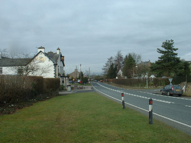
Lupton is a linear village and civil parish in the South Lakeland district of Cumbria, England, along the main A65 road north west of Kirkby Lonsdale, 2.3 miles (3.7 km) from the village of Hutton Roof. In the 2001 census the parish had a population of 165,[2] decreasing slightly at the 2011 census to 162.[1]
This article needs additional citations for verification. (September 2019) |
| Lupton | |
|---|---|
 Lupton | |
 Lupton Location within Cumbria | |
| Population | 162 (2011)[1] |
| OS grid reference | SD5581 |
| Civil parish |
|
| District |
|
| Shire county |
|
| Region |
|
| Country | England |
| Sovereign state | United Kingdom |
| Post town | CARNFORTH |
| Postcode district | LA6 |
| Dialling code | 01539 |
| Police | Cumbria |
| Fire | Cumbria |
| Ambulance | North West |
| UK Parliament |
|
As well as All Saints Church, the village has a public house, the Plough. Lupton Tower is an 18th-century house now used as a corporate head office.
See also
- Listed buildings in Lupton, Cumbria
References
- UK Census (2011). "Local Area Report – Lupton Parish (E04002629)". Nomis. Office for National Statistics. Retrieved 9 May 2021.
- UK Census (2001). "Local Area Report – Lupton Parish (16UG046)". Nomis. Office for National Statistics. Retrieved 9 May 2021.
External links
- Cumbria County History Trust: Lupton (nb: provisional research only – see Talk page)
| Wikimedia Commons has media related to Lupton, Cumbria. |
- Map sources for Lupton, Cumbria
This Cumbria location article is a stub. You can help Wikipedia by expanding it. |
Текст в блоке "Читать" взят с сайта "Википедия" и доступен по лицензии Creative Commons Attribution-ShareAlike; в отдельных случаях могут действовать дополнительные условия.
Другой контент может иметь иную лицензию. Перед использованием материалов сайта WikiSort.org внимательно изучите правила лицензирования конкретных элементов наполнения сайта.
Другой контент может иметь иную лицензию. Перед использованием материалов сайта WikiSort.org внимательно изучите правила лицензирования конкретных элементов наполнения сайта.
2019-2025
WikiSort.org - проект по пересортировке и дополнению контента Википедии
WikiSort.org - проект по пересортировке и дополнению контента Википедии