world.wikisort.org - United_Kingdom
Lower Lyde is a small village in Herefordshire, around 3 miles (5 km) north of Hereford city centre. It forms part of the Pipe and Lyde civil parish. The village can be easily accessed from the A49 road.[1]
| Lower Lyde | |
|---|---|
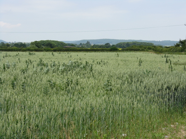 Crops at Lower Lyde Farm | |
 Lower Lyde Location within Herefordshire | |
| Civil parish |
|
| Unitary authority |
|
| Ceremonial county | |
| Region |
|
| Country | England |
| Sovereign state | United Kingdom |
| Post town | Hereford |
| Postcode district | HR4 |
| Dialling code | 01432 |
| Police | West Mercia |
| Fire | Hereford and Worcester |
| Ambulance | West Midlands |
| UK Parliament |
|
The main buildings are Lower Lyde Farm and Lower Lyde Court, a venue for weddings and performing arts events.[2]
In the valley below the village are the River Lugg, the Welsh Marches railway line and the Wergins Stone, a prehistoric standing stone.[1][3]
References
- Hereford and Ross-on-Wye (Explorer Maps) (A2 ed.), Ordnance Survey, 2009, ISBN 9780319240977
- "Lyde Court". Lyde Court. Retrieved 19 January 2014.
- "Herefordshire through Time - Wergins Stone". Herefordshire Council. Archived from the original on 2 February 2014. Retrieved 19 January 2014.
Текст в блоке "Читать" взят с сайта "Википедия" и доступен по лицензии Creative Commons Attribution-ShareAlike; в отдельных случаях могут действовать дополнительные условия.
Другой контент может иметь иную лицензию. Перед использованием материалов сайта WikiSort.org внимательно изучите правила лицензирования конкретных элементов наполнения сайта.
Другой контент может иметь иную лицензию. Перед использованием материалов сайта WikiSort.org внимательно изучите правила лицензирования конкретных элементов наполнения сайта.
2019-2025
WikiSort.org - проект по пересортировке и дополнению контента Википедии
WikiSort.org - проект по пересортировке и дополнению контента Википедии