world.wikisort.org - United_Kingdom
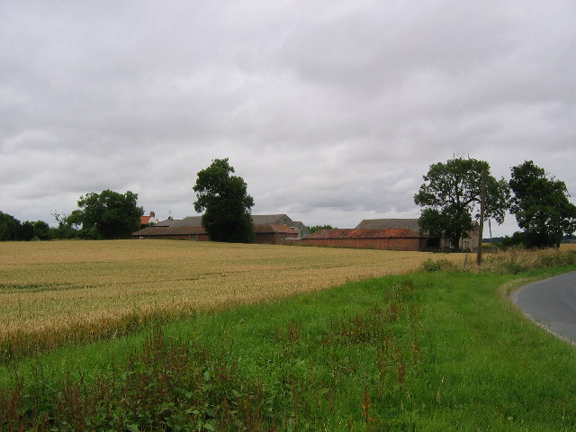
Little Hatfield is a small hamlet in the East Riding of Yorkshire, England, in an area known as Holderness. It is situated approximately 3 miles (5 km) south-west of Hornsea town centre, and less than 1 mile (1.6 km) west of Great Hatfield.
| Little Hatfield | |
|---|---|
 Little Hatfield Location within the East Riding of Yorkshire | |
| OS grid reference | TA173432 |
| • London | 160 mi (260 km) S |
| Civil parish | |
| Unitary authority |
|
| Ceremonial county |
|
| Region |
|
| Country | England |
| Sovereign state | United Kingdom |
| Post town | HULL |
| Postcode district | HU11 |
| Dialling code | 01964 |
| Police | Humberside |
| Fire | Humberside |
| Ambulance | Yorkshire |
| UK Parliament | |
In 1823 Little Hatfield was in the civil parish of Sigglesthorne, and in the Wapentake and Liberty of Holderness. Population at the time was 25, which included a farmer.[1]
The village was a civil parish until 1935, when it was merged with Goxhill and Great Hatfield to form the parish of Hatfield.[2]
Little Hatfield was served from 1864 to 1964 by Sigglesthorne railway station on the Hull and Hornsea Railway.[3]
References
- Baines, Edward (1823): History, Directory and Gazetteer of the County of York, p. 214
- "Little Hatfield Tn/CP Yorkshire through time – Administrative history of Parish-level unit: hierarchies, boundaries". A Vision of Britain through Time. University of Portsmouth & others. Retrieved 11 January 2020.
- Butt, R. V. J. (October 1995). The Directory of Railway Stations: details every public and private passenger station, halt, platform and stopping place, past and present (1st ed.). Sparkford: Patrick Stephens Ltd. ISBN 978-1-85260-508-7. OCLC 60251199. OL 11956311M.
- Gazetteer — A–Z of Towns Villages and Hamlets. East Riding of Yorkshire Council. 2006. p. 7.
External links
 Media related to Little Hatfield at Wikimedia Commons
- Little Hatfield in the Domesday Book
This East Riding of Yorkshire location article is a stub. You can help Wikipedia by expanding it. |
Другой контент может иметь иную лицензию. Перед использованием материалов сайта WikiSort.org внимательно изучите правила лицензирования конкретных элементов наполнения сайта.
WikiSort.org - проект по пересортировке и дополнению контента Википедии