world.wikisort.org - United_Kingdom
Lanjeth is a village near St Austell in Cornwall, England, United Kingdom.[1] It is in the civil parish of St Stephen-in-Brannel
| Lanjeth | |
|---|---|
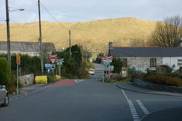 Lanjeth village and china clay waste tip | |
 Lanjeth Location within Cornwall | |
| OS grid reference | SW976529 |
| Civil parish | |
| Unitary authority |
|
| Ceremonial county | |
| Region | |
| Country | England |
| Sovereign state | United Kingdom |
| Post town | St Austell |
| Postcode district | PL26 |
Its neighbouring smaller villages are St. Stephen, Foxhole, Trewoon, Sticker and Coombe. The A3058 road passes through the village. There is a park and allotments.
References
- Ordnance Survey: Landranger map sheet 204 Truro & Falmouth (Map). Ordnance Survey. 2009. ISBN 978-0-319-23290-3.
Cornwall Portal | |
| Unitary authorities |
|
| Major settlements |
|
| Rivers | |
| Topics |
|

This article about a location in the former borough of Restormel, Cornwall is a stub. You can help Wikipedia by expanding it. |
Текст в блоке "Читать" взят с сайта "Википедия" и доступен по лицензии Creative Commons Attribution-ShareAlike; в отдельных случаях могут действовать дополнительные условия.
Другой контент может иметь иную лицензию. Перед использованием материалов сайта WikiSort.org внимательно изучите правила лицензирования конкретных элементов наполнения сайта.
Другой контент может иметь иную лицензию. Перед использованием материалов сайта WikiSort.org внимательно изучите правила лицензирования конкретных элементов наполнения сайта.
2019-2025
WikiSort.org - проект по пересортировке и дополнению контента Википедии
WikiSort.org - проект по пересортировке и дополнению контента Википедии