world.wikisort.org - United_Kingdom
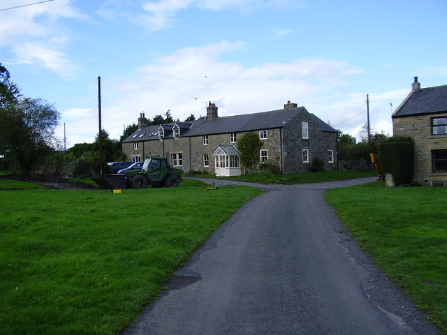
Kirkheaton (English: /ˈkərkhiːtən/) is a village and former civil parish, now in the parish of Capheaton, in the county of Northumberland, England. The village lies about 10 miles (16 km) north east of Hexham and about 5 miles (8 km) west of Belsay. In 1951 the parish had a population of 70.[1]
| Kirkheaton | |
|---|---|
 Kirkheaton | |
 Kirkheaton Location within Northumberland | |
| OS grid reference | NZ015775 |
| Civil parish | |
| Unitary authority |
|
| Ceremonial county | |
| Region | |
| Country | England |
| Sovereign state | United Kingdom |
| Post town | NEWCASTLE UPON TYNE |
| Postcode district | NE19 |
| Dialling code | 01830 |
| Police | Northumbria |
| Fire | Northumberland |
| Ambulance | North East |
| UK Parliament | |
Governance
Kirkheaton is in the parliamentary constituency of Hexham. On 1 April 1955 the parish was abolished and merged with Capheaton.[2]
Landmarks

Kirkheaton has a Pele tower.
The Devil's Causeway passes the village just over 1 mile (2 km) to the east. The causeway is a Roman road which starts at Port Gate on Hadrian's Wall, north of Corbridge, and extends 55 miles (89 km) northwards across Northumberland to the mouth of the River Tweed at Berwick-upon-Tweed.
Religious sites
The church is dedicated to St Bartholomew.[3] The chapel was rebuilt in 1775, at the expense of Mrs H. D. Windsor, at that time lady of the manor.[4]
References
- "Population statistics Kirkheaton Ch/ExP/CP through time". A Vision of Britain through Time. Retrieved 28 January 2022.
- "Relationships and changes Kirkheaton Ch/ExP/CP through time". A Vision of Britain through Time. Retrieved 28 January 2022.
- Purves, Geoffrey (2006). Churches of Newcastle and Northumberland. Stroud, Gloucestershire, England: Tempus Publishing Limited. p. 163. ISBN 0 7524 4071 3.
{{cite book}}: CS1 maint: url-status (link) - "GENUKI (Retrieved: 20 November 2008)". Archived from the original on 8 January 2009. Retrieved 28 November 2008.
External links
![]() Media related to Kirkheaton, Northumberland at Wikimedia Commons
Media related to Kirkheaton, Northumberland at Wikimedia Commons
- GENUKI (accessed 19 November 2008)
This Northumberland location article is a stub. You can help Wikipedia by expanding it. |
Другой контент может иметь иную лицензию. Перед использованием материалов сайта WikiSort.org внимательно изучите правила лицензирования конкретных элементов наполнения сайта.
WikiSort.org - проект по пересортировке и дополнению контента Википедии