world.wikisort.org - United_Kingdom
Kirk Bramwith is a village and civil parish in the Metropolitan Borough of Doncaster in South Yorkshire, England. It had a population of 200 in 2001,[1] increasing to 320 at the 2011 Census.[2] The village centre is located on a narrow strip of land, sandwiched between the River Don Navigation to the south east and the New Junction Canal to the north west. It is low-lying, with most of it close to the 16-foot (5 m) contour, and is almost surrounded by drainage ditches.[3]
| Kirk Bramwith | |
|---|---|
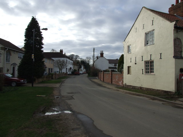 Village street in Kirk Bramwith | |
 Kirk Bramwith Location within South Yorkshire | |
| Population | 320 (2011 Census) |
| Civil parish |
|
| Metropolitan borough |
|
| Metropolitan county |
|
| Region |
|
| Country | England |
| Sovereign state | United Kingdom |
| Post town | DONCASTER |
| Postcode district | DN7 |
| Dialling code | 01302 |
| Police | South Yorkshire |
| Fire | South Yorkshire |
| Ambulance | Yorkshire |
Structures

The Anglican church building is dedicated to St. Mary, and is grade II* listed. Most of the structure, which includes a square west tower, is fourteenth or fifteenth century, but the arch into the chancel and the south porch are much earlier, having been built in the twelfth century. It is built of ashlar magnesian limestone, with roofs of stone slate and Welsh slate.[4] The old rectory was built in 1864 in a Tudor Revival style, using red brick with a Welsh slate roof.[5] On Low Lane there is a late eighteenth-century bridge which crosses a drain. It is built of ashlar and rock-faced sandstone and limestone, and once included a sluice on the downstream side to regulate the flow between Bramwith Drain and Kirk Bramwith New Cut.[6]
See also
- Listed buildings in Kirk Bramwith
References
- "Census 2001 : Parish Headcounts : Doncaster". Neighbourhood Statistics. Office for National Statistics. Retrieved 27 August 2009.
- "Civil Parish population 2011". Neighbourhood Statistics. Office foir National Statistics. Retrieved 7 March 2016.
- Ordnance Survey, 1:25,000 map
- Historic England. "Church of St Mary, Kirk Bramwith (1286522)". National Heritage List for England. Retrieved 8 April 2011.
- Historic England. "The Old Rectory, Kirk Bramwith (1192721)". National Heritage List for England. Retrieved 8 April 2011.
- Historic England. "Drain Bridge, Low Lane, Kirk Bramwith (1151594)". National Heritage List for England. Retrieved 8 April 2011.
This South Yorkshire location article is a stub. You can help Wikipedia by expanding it. |
Другой контент может иметь иную лицензию. Перед использованием материалов сайта WikiSort.org внимательно изучите правила лицензирования конкретных элементов наполнения сайта.
WikiSort.org - проект по пересортировке и дополнению контента Википедии