world.wikisort.org - United_Kingdom
Kinsbourne Green is a small hamlet to the north-west of Harpenden in Hertfordshire, England.[1] The hamlet is now geographically virtually contiguous with Harpenden. Kinsbourne Green is in the civil parish of Harpenden Rural (where at the 2011 Census the population was included).[2]
| Kinsbourne Green | |
|---|---|
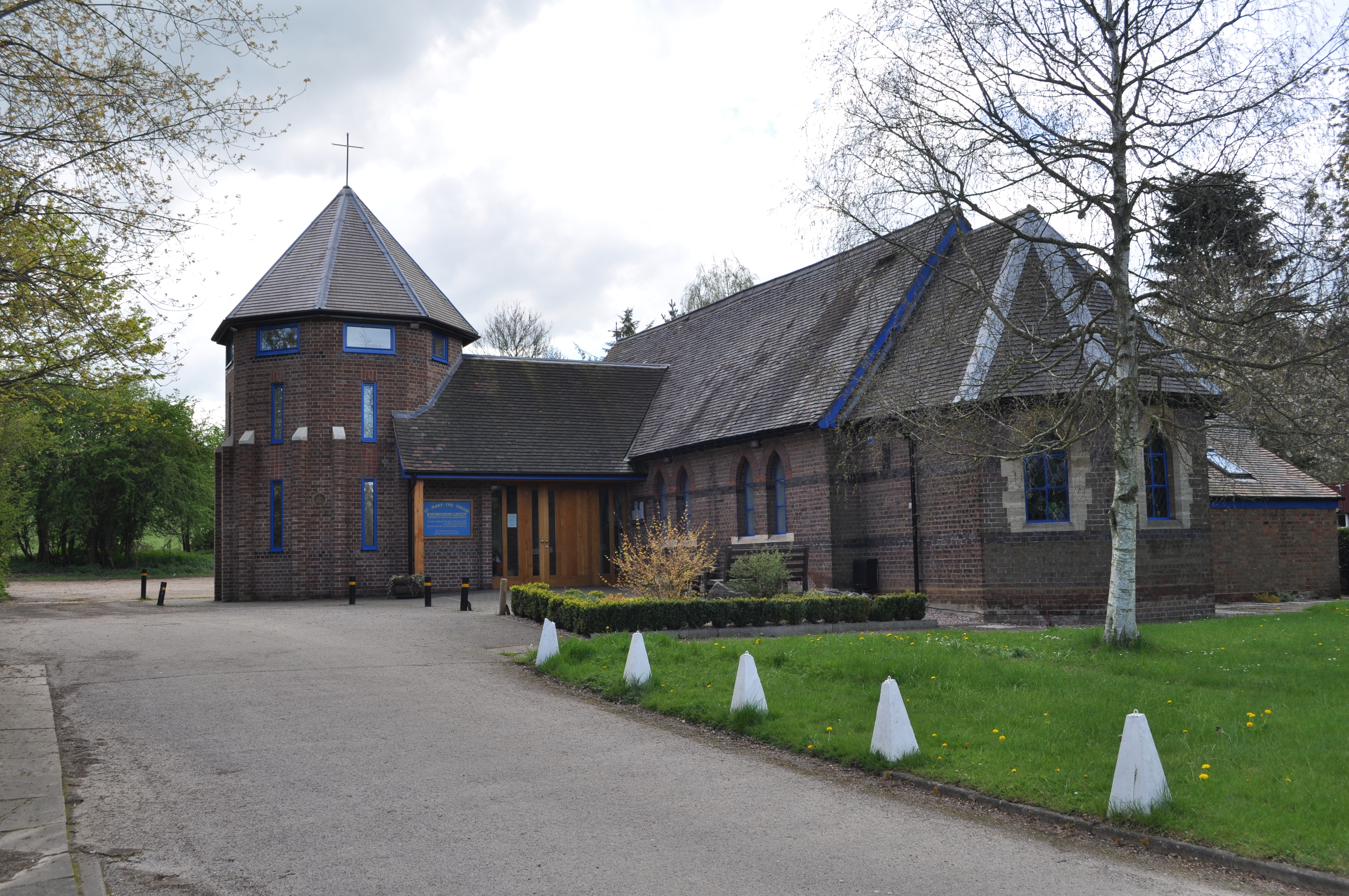 St Mary the Virgin Church, Kinsbourne Green | |
 Kinsbourne Green Location within Hertfordshire | |
| District |
|
| Shire county |
|
| Region |
|
| Country | England |
| Sovereign state | United Kingdom |
| Post town | HARPENDEN |
| Postcode district | AL5 |
| Dialling code | 01582 |
| Police | Hertfordshire |
| Fire | Hertfordshire |
| Ambulance | East of England |
| UK Parliament |
|
References
- Ordnance Survey: Landranger map sheet 166 Luton & Hertford (Hitchin & St Albans) (Map). Ordnance Survey. 2012. ISBN 9780319232095.
- "Ordnance Survey Election Maps". www.ordnancesurvey.co.uk. Ordnance Survey. Retrieved 3 April 2016.
External links
![]() Media related to Kinsbourne Green at Wikimedia Commons
Media related to Kinsbourne Green at Wikimedia Commons
This Hertfordshire location article is a stub. You can help Wikipedia by expanding it. |
Текст в блоке "Читать" взят с сайта "Википедия" и доступен по лицензии Creative Commons Attribution-ShareAlike; в отдельных случаях могут действовать дополнительные условия.
Другой контент может иметь иную лицензию. Перед использованием материалов сайта WikiSort.org внимательно изучите правила лицензирования конкретных элементов наполнения сайта.
Другой контент может иметь иную лицензию. Перед использованием материалов сайта WikiSort.org внимательно изучите правила лицензирования конкретных элементов наполнения сайта.
2019-2026
WikiSort.org - проект по пересортировке и дополнению контента Википедии
WikiSort.org - проект по пересортировке и дополнению контента Википедии