world.wikisort.org - United_Kingdom
Joy's Green is a village in the Forest of Dean in West Gloucestershire, England.[1] The village is in the civil parish of the neighbouring village of Lydbrook.[2]
| Joys Green | |
|---|---|
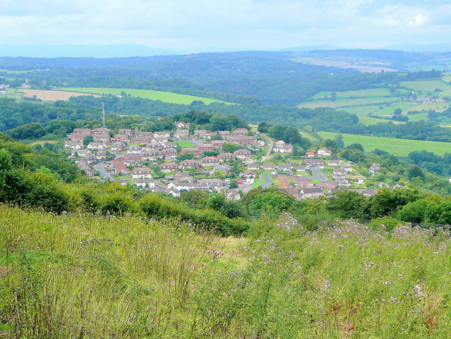 View towards Joys Green | |
 Joys Green Location within Gloucestershire | |
| OS grid reference | SO604164 |
| District |
|
| Shire county |
|
| Region |
|
| Country | England |
| Sovereign state | United Kingdom |
| Police | Gloucestershire |
| Fire | Gloucestershire |
| Ambulance | South Western |
| UK Parliament |
|
About Joys Green
The village of Joys Green which is still part of the Parish of Lydbrook now currently has no Village Shop or Post Office, which is hopefully going to be re-opened eventually. Neither does it have the Primary School which closed back in late 2008 to become a young peoples directorate, leaving all of the students there (at most 15 children) to transfer to the other local primary school in Lydbrook. The village still has its own playground with play equipment on and a small football pitch, this is currently situated where Joys Green Football Club pitch used to be. The Joys Green community centre is also still situated within the old primary school grounds and meetings regarding the local area are often either held there or at the Lydbrook Memorial Hall.
Recently Two Rivers Housing has invested in nearly five or six new properties and renovated a lot of properties within the area. As well as the new houses Joys Green is still home to the Edwards Close housing estate which was named after Edwards Coaches which were formerly based there and in Lydbrook.
The village shop, when it used to be open once ran an initiative to stop littering around the village which attracted the attention of BBC Points West, BBC National News and BBC Newsround. This was all aired in late 2008.
References
- Ordnance Survey: Landranger map sheet 162 Gloucester & Forest of Dean (Map). Ordnance Survey. 2011. ISBN 9780319229118.
- "Ordnance Survey Election Maps". www.ordnancesurvey.co.uk. Ordnance Survey. Retrieved 3 April 2016.
This Gloucestershire location article is a stub. You can help Wikipedia by expanding it. |
Другой контент может иметь иную лицензию. Перед использованием материалов сайта WikiSort.org внимательно изучите правила лицензирования конкретных элементов наполнения сайта.
WikiSort.org - проект по пересортировке и дополнению контента Википедии