world.wikisort.org - United_Kingdom
Heyrod (/ˈhɛrəd/) is a village in Tameside, Greater Manchester, England, between Stalybridge and Mossley.[1] Historically in Lancashire, Heyrod was subsumed into the Municipal Borough of Stalybridge in 1881, a local government district which became part of the administrative county of Cheshire in 1889.
| Heyrod | |
|---|---|
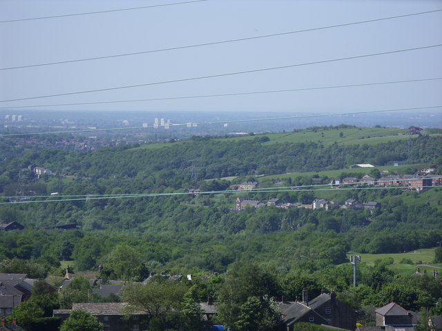 A view over Heyrod | |
 Heyrod Location within Greater Manchester | |
| OS grid reference | SD970000 |
| Metropolitan borough |
|
| Metropolitan county |
|
| Region |
|
| Country | England |
| Sovereign state | United Kingdom |
| Post town | STALYBRIDGE |
| Postcode district | SK15 |
| Dialling code | 0161 |
| Police | Greater Manchester |
| Fire | Greater Manchester |
| Ambulance | North West |
| UK Parliament |
|
Heyrod is the site of the former Hartshead Power Station.
There is a village hall.[2]
See also
References
- Ordnance Survey: Landranger map sheet 109 Manchester (Bolton & Warrington) (Map). Ordnance Survey. 2014. ISBN 9780319231555.
- "Heyrod Village Hall". www.heyrodvillage.co.uk. Retrieved 21 March 2016.
Wikimedia Commons has media related to Heyrod.
This Greater Manchester location article is a stub. You can help Wikipedia by expanding it. |
Текст в блоке "Читать" взят с сайта "Википедия" и доступен по лицензии Creative Commons Attribution-ShareAlike; в отдельных случаях могут действовать дополнительные условия.
Другой контент может иметь иную лицензию. Перед использованием материалов сайта WikiSort.org внимательно изучите правила лицензирования конкретных элементов наполнения сайта.
Другой контент может иметь иную лицензию. Перед использованием материалов сайта WikiSort.org внимательно изучите правила лицензирования конкретных элементов наполнения сайта.
2019-2026
WikiSort.org - проект по пересортировке и дополнению контента Википедии
WikiSort.org - проект по пересортировке и дополнению контента Википедии