world.wikisort.org - United_Kingdom
Hebron is a village and civil parish 2 miles (3.2 km) north of Morpeth, in the county of Northumberland, England. In 2011 the parish had a population of 422.[1] The parish touches Longhirst, Meldon, Mitford, Morpeth, Netherwitton, Pegswood, Tritlington and West Chevington and Ulgham.[2] Until April 2009 the parish was in Castle Morpeth district. The surname "Hebron" derives from Hebron.[3]
| Hebron | |
|---|---|
 | |
 Hebron Location within Northumberland | |
| Area | 20.2 km2 (7.8 sq mi) |
| Population | 422 (2011 census) |
| • Density | 21/km2 (54/sq mi) |
| Civil parish |
|
| Unitary authority |
|
| Shire county |
|
| Region |
|
| Country | England |
| Sovereign state | United Kingdom |
| Post town | MORPETH |
| Postcode district | NE61 |
| UK Parliament |
|
Landmarks
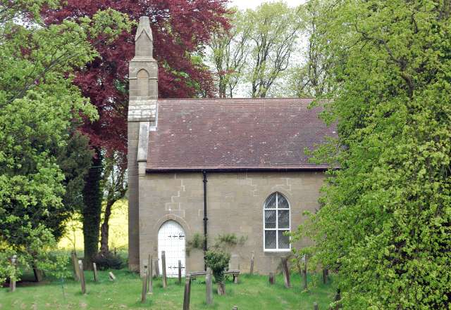
There are 9 listed buildings in Hebron.[4] Hebron has a church called St Cuthbert.[5]
History
The name "Hebron" means 'The high burial-mound'.[6] The parish included the townships of Causey Park, Cockle Park, Earsdon, Earsdon Forest, Fenrother and Tritlington.[7] On 1 April 1955 the parishes of Benridge, Cockle Park and High and Low Highlaws were abolished and merged with Hebron.[8]
References
- "Hebron". City Population De. Retrieved 14 December 2020.
- "Hebron". Ordnance Survey. Retrieved 14 December 2020.
- "Last name: Hebron". SurnameDB. Retrieved 2 January 2021.
- "Listed buildings in Hebron, Northumberland". British Listed Buildings. Retrieved 14 December 2020.
- "St Cuthbert's Hebron". A Church Near You. Retrieved 14 December 2020.
- "Hebron Pacey Key to English Place-names". The University of Nottingham. Retrieved 14 December 2020.
- "History of Hebron, in Castle Morpeth and Northumberland". A Vision of Britain through Time. Retrieved 14 December 2020.
- "Relationships and changes Hebron Ch/CP through time". A Vision of Britain through Time. Retrieved 14 December 2020.
External links
- "Hebron". Keys to the Past. Retrieved 14 December 2020.
This Northumberland location article is a stub. You can help Wikipedia by expanding it. |
Другой контент может иметь иную лицензию. Перед использованием материалов сайта WikiSort.org внимательно изучите правила лицензирования конкретных элементов наполнения сайта.
WikiSort.org - проект по пересортировке и дополнению контента Википедии