world.wikisort.org - United_Kingdom
Hartwell is a village and civil parish in West Northamptonshire, bordering Buckinghamshire. The village is next to Salcey Forest and the M1 motorway. It is 7 miles (11 km) south of Northampton and 13 miles (21 km) north of Milton Keynes.
| Hartwell | |
|---|---|
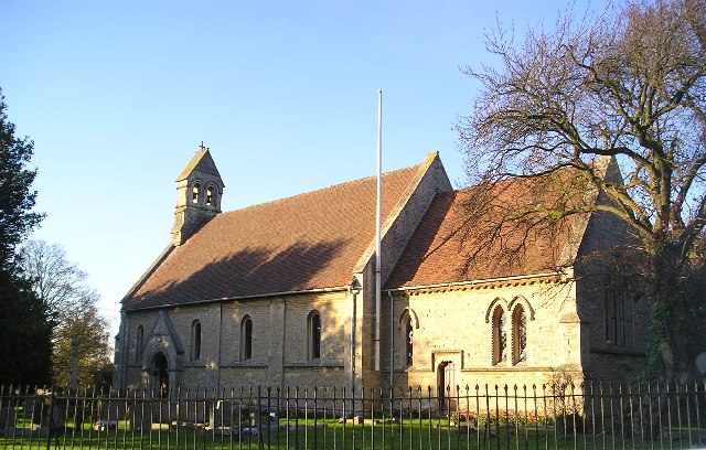 St John the Baptist Parish Church Hartwell built ca 1851 | |
 Hartwell Location within Northamptonshire | |
| Population | 1,815 [1] 1,875 (2011 census)[2] |
| OS grid reference | SP7850 |
| • London | 62 miles (100 km) |
| Civil parish |
|
| Unitary authority |
|
| Ceremonial county |
|
| Region |
|
| Country | England |
| Sovereign state | United Kingdom |
| Post town | NORTHAMPTON |
| Postcode district | NN7 |
| Dialling code | 01604 |
| Police | Northamptonshire |
| Fire | Northamptonshire |
| Ambulance | East Midlands |
| UK Parliament |
|
The villages name means 'Hart spring/stream'.[3]
Demographics
According to the 2001 census, the parish had a population of 1,815 people in 693 household,.[1] increasing to 1,875 at the 2011 census.[4] Men in the Salcey ward had the fifth highest life expectancy at birth, 89.3 years, of any ward in England and Wales in 2016.[5]
Within the village are Hartwell Parish Church, Hartwell CofE Primary School, the Rose and Crown public house, community centre, recreational ground, village shop and the Hartwell Club.
Governance
Hartwell is in the South Northamptonshire constituency for Parliamentary elections, and is represented by former Leader of the House of Commons, Andrea Leadsom. For elections to the West Northamptonshire Council, the village is in the Hackleton and Grange Park ward. Both are considered safe-seats for the Conservative Party, though the Liberal Democrats also have a strong base locally.
Hartwellians
- Isaac Wake (1580–1632), diplomat, political commentator, and ambassador of the Court of St James's to Savoy and France
References
- Office for National Statistics: Hartwell CP: Parish headcounts. Retrieved 12 November 2009
- SNC (2011). South Northamptonshire Council Year Book 2011–2012. Towcester. p. 39.
- "Key to English Place-names".
- "Civil Parish 2011". Neighbourhood Statistics. Office for National Statistics. Retrieved 5 July 2016.
- Bennett, James; et al. (22 November 2018). "Contributions of diseases and injuries to widening life expectancy inequalities in England from 2001 to 2016: a population-based analysis of vital registration data". Lancet public health. Retrieved 23 November 2018.
External links
This Northamptonshire location article is a stub. You can help Wikipedia by expanding it. |
Другой контент может иметь иную лицензию. Перед использованием материалов сайта WikiSort.org внимательно изучите правила лицензирования конкретных элементов наполнения сайта.
WikiSort.org - проект по пересортировке и дополнению контента Википедии