world.wikisort.org - United_Kingdom
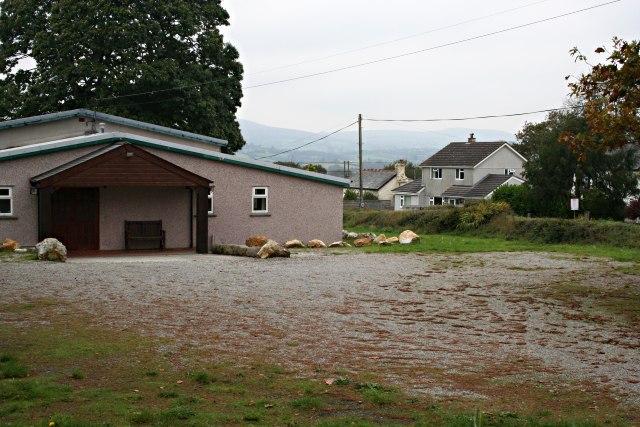
Golberdon is a village in Cornwall, England situated 6 miles (9.7 km) north-east of Liskeard.[1] Golberdon is in the civil parish of South Hill (where the 2011 census population was included )

| Golberdon | |
|---|---|
 Golberdon Location within Cornwall | |
| OS grid reference | SX329712 |
| Civil parish |
|
| Unitary authority |
|
| Ceremonial county | |
| Region | |
| Country | England |
| Sovereign state | United Kingdom |
| Post town | CALLINGTON |
| Postcode district | PL17 |
| Dialling code | 01579 |
| Police | Devon and Cornwall |
| Fire | Cornwall |
| Ambulance | South Western |
| UK Parliament |
|
References
- Ordnance Survey: Landranger map sheet 201 Plymouth & Launceston (Map). Ordnance Survey. ISBN 978-0-319-22938-5.
Cornwall Portal | |
| Unitary authorities |
|
| Major settlements |
|
| Rivers | |
| Topics |
|
This Cornwall location article is a stub. You can help Wikipedia by expanding it. |
Текст в блоке "Читать" взят с сайта "Википедия" и доступен по лицензии Creative Commons Attribution-ShareAlike; в отдельных случаях могут действовать дополнительные условия.
Другой контент может иметь иную лицензию. Перед использованием материалов сайта WikiSort.org внимательно изучите правила лицензирования конкретных элементов наполнения сайта.
Другой контент может иметь иную лицензию. Перед использованием материалов сайта WikiSort.org внимательно изучите правила лицензирования конкретных элементов наполнения сайта.
2019-2026
WikiSort.org - проект по пересортировке и дополнению контента Википедии
WikiSort.org - проект по пересортировке и дополнению контента Википедии