world.wikisort.org - United_Kingdom
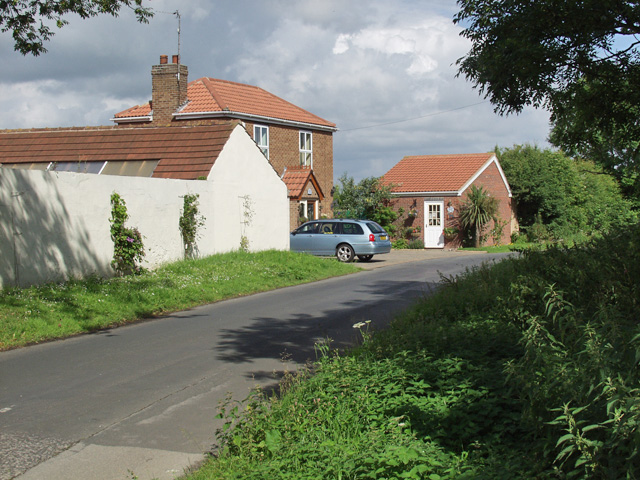
Ganstead is a village in the East Riding of Yorkshire, England, in an area known as Holderness. It is situated approximately 5 miles (8 km) north-east of Hull city centre. It is divided into Ganstead East and Ganstead West by the A165 road which passes through the village.
| Ganstead | |
|---|---|
 Ganstead Location within the East Riding of Yorkshire | |
| OS grid reference | TA148341 |
| • London | 160 mi (260 km) S |
| Civil parish | |
| Unitary authority | |
| Ceremonial county | |
| Region |
|
| Country | England |
| Sovereign state | United Kingdom |
| Post town | HULL |
| Postcode district | HU11 |
| Dialling code | 01482 |
| Police | Humberside |
| Fire | Humberside |
| Ambulance | Yorkshire |
| UK Parliament | |
Ganstead forms part of the civil parish of Bilton.
In 1823 Ganstead was in the parish of Swine and in the Wapentake and Liberty of Holderness. Population at the time was 61 and included four farmers and a corn miller.[1]
References
- Baines, Edward (1823): History, Directory and Gazetteer of the County of York, p. 209
- Gazetteer – A–Z of Towns Villages and Hamlets. East Riding of Yorkshire Council. 2006. p. 6.
External links
This East Riding of Yorkshire location article is a stub. You can help Wikipedia by expanding it. |
Текст в блоке "Читать" взят с сайта "Википедия" и доступен по лицензии Creative Commons Attribution-ShareAlike; в отдельных случаях могут действовать дополнительные условия.
Другой контент может иметь иную лицензию. Перед использованием материалов сайта WikiSort.org внимательно изучите правила лицензирования конкретных элементов наполнения сайта.
Другой контент может иметь иную лицензию. Перед использованием материалов сайта WikiSort.org внимательно изучите правила лицензирования конкретных элементов наполнения сайта.
2019-2025
WikiSort.org - проект по пересортировке и дополнению контента Википедии
WikiSort.org - проект по пересортировке и дополнению контента Википедии