world.wikisort.org - United_Kingdom
Gailey is a small village in Staffordshire, England. It is at the junction of the A5 and A449 roads, and is on the boundary of the parishes of Brewood and Coven (formerly Brewood) and Penkridge, in South Staffordshire.
| Gailey | |
|---|---|
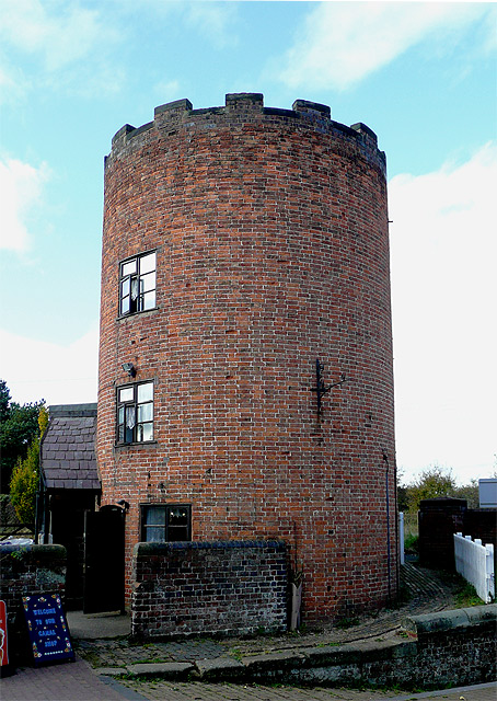 Lock keeper's tower | |
 Gailey Location within Staffordshire | |
| OS grid reference | SJ912107 |
| Civil parish |
|
| District |
|
| Shire county |
|
| Region |
|
| Country | England |
| Sovereign state | United Kingdom |
| Post town | STAFFORD |
| Postcode district | ST19 |
| Dialling code | 01902 |
| Police | Staffordshire |
| Fire | Staffordshire |
| Ambulance | West Midlands |
| UK Parliament |
|
The village was in existence at the time of the Domesday Book (1086) when it was referred to as Gragelie.[1] In the 19th century, Gailey was also known as Spread Eagle, from the name of the pub adjacent to the road junction.[2]
In 1837, the Grand Junction Railway built a railway station in the village. The Rugby-Birmingham-Stafford Line still passes through the site, although the station at Gailey closed in 1951. Today the village is served by Select Bus service 877/878 which operates between Wolverhampton and Stafford.
See also
- Gailey Reservoir
References
- "Gailey History". Roman-Britain.org. Archived from the original on 19 June 2009. Retrieved 30 December 2009.
- "'Penkridge: Introduction and manors', A History of the County of Stafford: Volume 5: East Cuttlestone hundred". 1959. pp. 103–126. Retrieved 2 June 2008.
This Staffordshire location article is a stub. You can help Wikipedia by expanding it. |
Другой контент может иметь иную лицензию. Перед использованием материалов сайта WikiSort.org внимательно изучите правила лицензирования конкретных элементов наполнения сайта.
WikiSort.org - проект по пересортировке и дополнению контента Википедии