world.wikisort.org - United_Kingdom
Elsted and Treyford is a civil parish in the Chichester district of West Sussex, west of Midhurst. It contains the settlements of Elsted, Elsted Marsh, Treyford, Didling and Hooksway.
| Elsted and Treyford | |
|---|---|
 Elsted Marsh | |
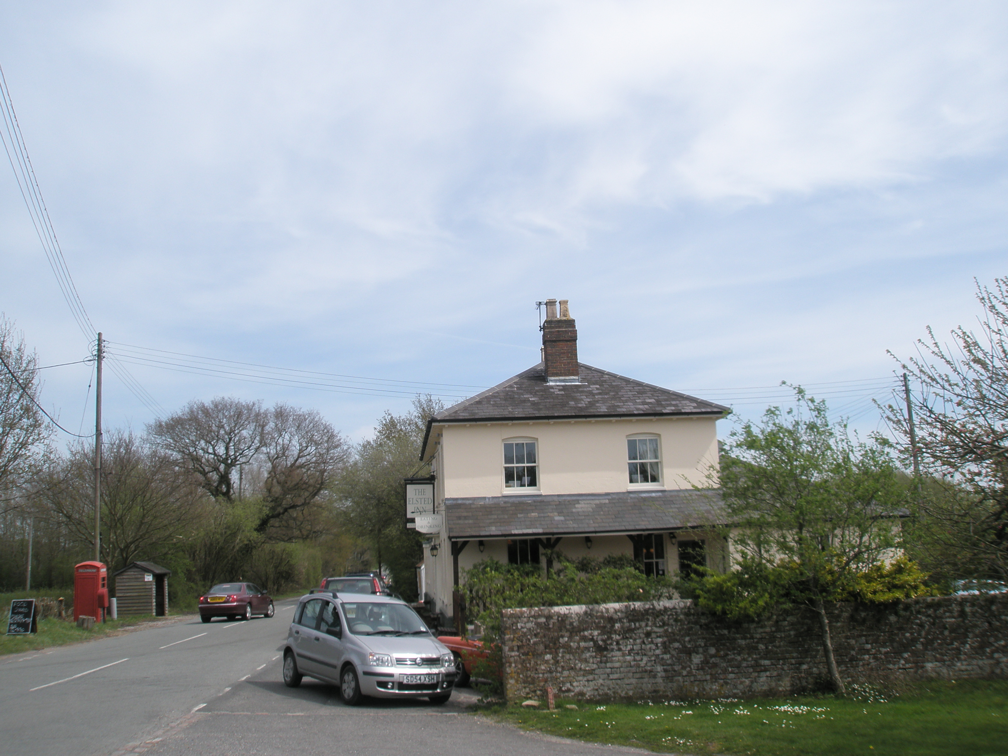
 Elsted and Treyford Location within West Sussex | |
| Area | 15.90 km2 (6.14 sq mi) [1] |
| Population | 246 (2011)[2] |
| • Density | 16/km2 (41/sq mi) |
| OS grid reference | SU816195 |
| • London | 48 miles (77 km) NE |
| Civil parish |
|
| District | |
| Shire county |
|
| Region |
|
| Country | England |
| Sovereign state | United Kingdom |
| Post town | MIDHURST |
| Postcode district | GU29 |
| Dialling code | 01730 |
| Police | Sussex |
| Fire | West Sussex |
| Ambulance | South East Coast |
| UK Parliament |
|
The parish contains two churches, St Paul in Elsted and St Andrew, known as the Shepherds' Church,[3] in the hamlet of Didling. It also contains the site of Treyford church.
Hooksway has a 16th-century pub, the Royal Oak.[4][5]
In the 2001 census there were 114 households with a total population of 253 of whom 116 were economically active.[1] At the 2011 Census the population was 246.[2]
The Devil's Jumps, Treyford, and Beacon Hill are nearby.
References
- "2001 Census: West Sussex – Population by Parish" (PDF). West Sussex County Council. Archived from the original (PDF) on 8 June 2011. Retrieved 2 May 2009.
- "Elsted and Treyford (Parish): Key Figures for 2011 Census". Neighbourhood Statistics. Office for National Statistics. Retrieved 15 October 2015.
- "The Church of England : Chichester Diocese : St Andrew, Didling". Archived from the original on 12 March 2007. Retrieved 30 March 2006.
- "Fancy Free Walks: Harting Down" (PDF). Retrieved 5 December 2014.
- Shaxson, Andrew (March 2008). The Royal Oak at Hooksway (PDF). The Chichester Society. p. 6. Retrieved 6 December 2014.
External links
![]() Media related to Elsted and Treyford at Wikimedia Commons
Media related to Elsted and Treyford at Wikimedia Commons
Authority control | |
|---|---|
| General |
|
| National libraries | |
This West Sussex location article is a stub. You can help Wikipedia by expanding it. |
Другой контент может иметь иную лицензию. Перед использованием материалов сайта WikiSort.org внимательно изучите правила лицензирования конкретных элементов наполнения сайта.
WikiSort.org - проект по пересортировке и дополнению контента Википедии