world.wikisort.org - United_Kingdom
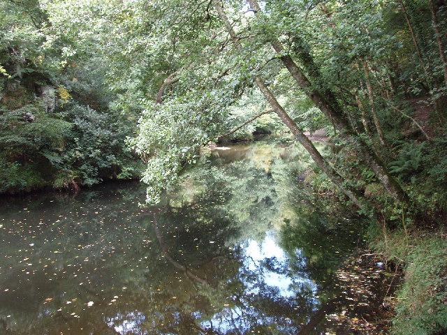
Dunmere is a hamlet in Cornwall, England, United Kingdom. It is situated one mile northwest of Bodmin in the valley of the River Camel[1] on the A389 road.
| Dunmere | |
|---|---|
 Dunmere Location within Cornwall | |
| OS grid reference | SX048678 |
| Civil parish |
|
| Unitary authority |
|
| Ceremonial county | |
| Region | |
| Country | England |
| Sovereign state | United Kingdom |
| Post town | BODMIN |
| Postcode district | PL31 |
| Dialling code | 01208 |
| Police | Devon and Cornwall |
| Fire | Cornwall |
| Ambulance | South Western |
| UK Parliament |
|
The former branch of the Bodmin and Wenford Railway to Wenfordbridge crossed the A389 road at Dunmere. This section of the railway now forms part of the Camel Trail, a long-distance footpath and cycle trail.
Boscarne Junction railway station, the current terminus of the railway, is situated a mile (1.6 km) west of Dunmere.
Dunmere has a pub, The Borough Arms.
Governance
In local government terms, Dunmere is within the civil parish of Bodmin and the unitary authority Cornwall Council division of Bodmin St Mary's. The Member of Parliament for the North Cornwall constituency is Scott Mann, Conservative.
References
- Ordnance Survey: Landranger map sheet 200 Newquay & Bodmin ISBN 978-0-319-22938-5
Cornwall Portal | |
| Unitary authorities |
|
| Major settlements |
|
| Rivers | |
| Topics |
|
This Cornwall location article is a stub. You can help Wikipedia by expanding it. |
Другой контент может иметь иную лицензию. Перед использованием материалов сайта WikiSort.org внимательно изучите правила лицензирования конкретных элементов наполнения сайта.
WikiSort.org - проект по пересортировке и дополнению контента Википедии