world.wikisort.org - United_Kingdom
Distington (/ˈdɪzɪŋtən/) is a large village and civil parish in Cumbria, England, 3 miles (4.8 km) south of Workington and 4 miles (6.4 km) north of Whitehaven. Historically a part of Cumberland, the civil parish includes the nearby settlements of Common End, Gilgarran and Pica. The parish had a population of 2,247 in the 2001 census,[2] increasing slightly to 2,256 at the 2011 census.[1]
| Distington | |
|---|---|
 The Church of the Holy Spirit, Distington | |
 Distington Location in Copeland Borough  Distington Location within Cumbria | |
| Population | 2,256 (2011)[1] |
| OS grid reference | NY0023 |
| Civil parish |
|
| District |
|
| Shire county |
|
| Region |
|
| Country | England |
| Sovereign state | United Kingdom |
| Post town | WORKINGTON |
| Postcode district | CA14 |
| Dialling code | 01946 |
| Police | Cumbria |
| Fire | Cumbria |
| Ambulance | North West |
| UK Parliament |
|
South of the village by the Lowca Beck are the fragmentary remains of Hayes Castle, a manor house fortified by Robert de Leyburn in 1322.
Governance
Distington is in the parliamentary constituency of Copeland, Trudy Harrison is the Member of parliament.
For Local Government purposes it is in the Distington, Lowca & Parton Ward of Borough of Copeland and the Howgate Ward of Cumbria County Council.
The village also has its own Parish Council; Distington Parish Council.[3] The parish council ward stretches beyond the confines of Distington parish with at total population taken at the Census 2011 of 4,058.[4]
Transport
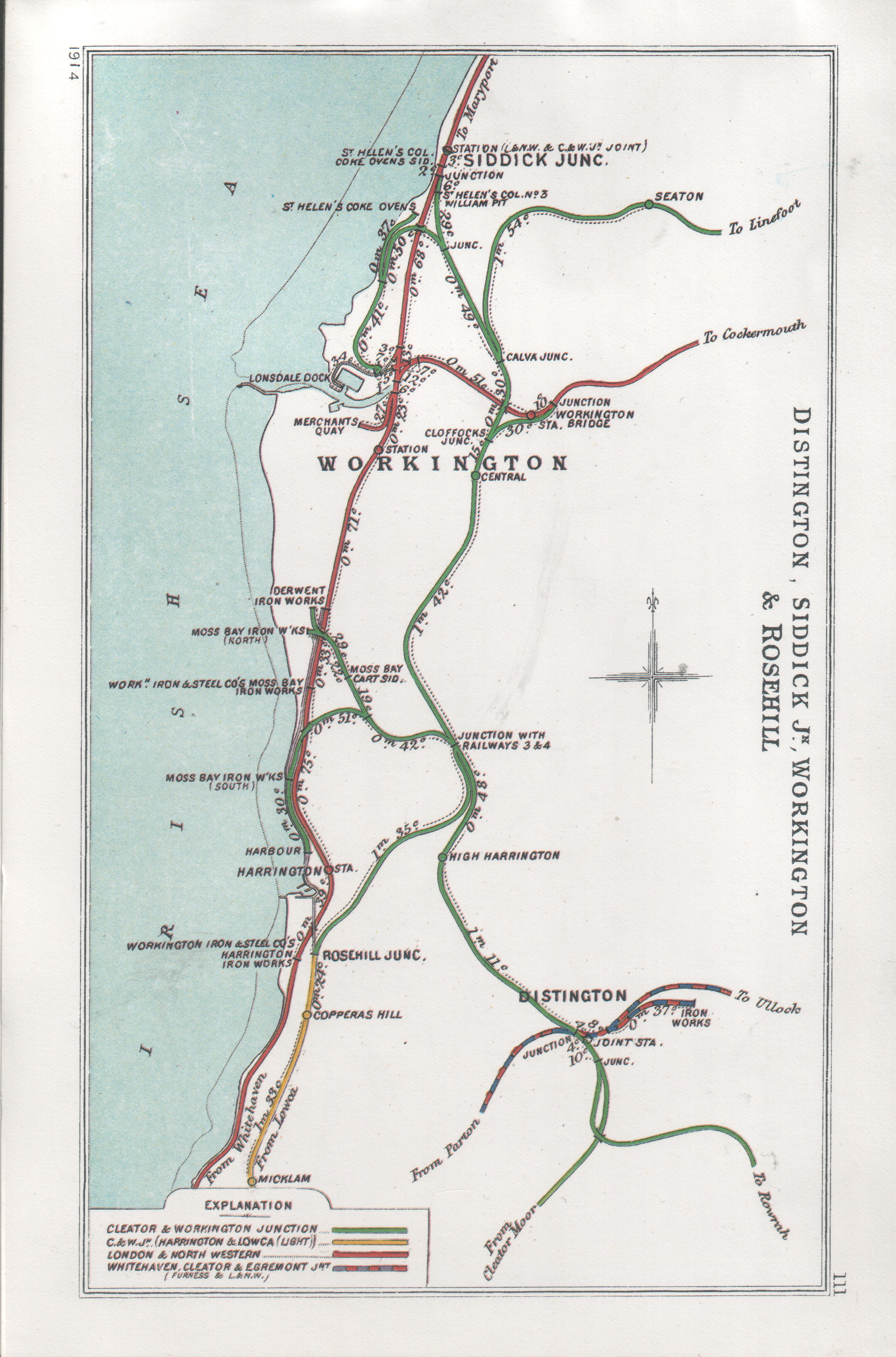
The main road through Distington is the A595. There was once a railway station at Distington on the Cleator and Workington Junction Railway which was an important junction.
Today Harrington railway station, on the Cumbria Coast Line, is the nearest operational station.
See also
- Listed buildings in Distington
- Distington railway station
References
- UK Census (2011). "Local Area Report – Distington Parish (E04002484)". Nomis. Office for National Statistics. Retrieved 21 April 2021.
- UK Census (2001). "Local Area Report – Distington Parish (16UE004)". Nomis. Office for National Statistics. Retrieved 21 April 2021.
- "Distington Parish Council".
- "Ward population 2011". Retrieved 15 June 2015.
External links
- Cumbria County History Trust: Distington (nb: provisional research only – see Talk page)
This Cumbria location article is a stub. You can help Wikipedia by expanding it. |
Другой контент может иметь иную лицензию. Перед использованием материалов сайта WikiSort.org внимательно изучите правила лицензирования конкретных элементов наполнения сайта.
WikiSort.org - проект по пересортировке и дополнению контента Википедии