world.wikisort.org - United_Kingdom
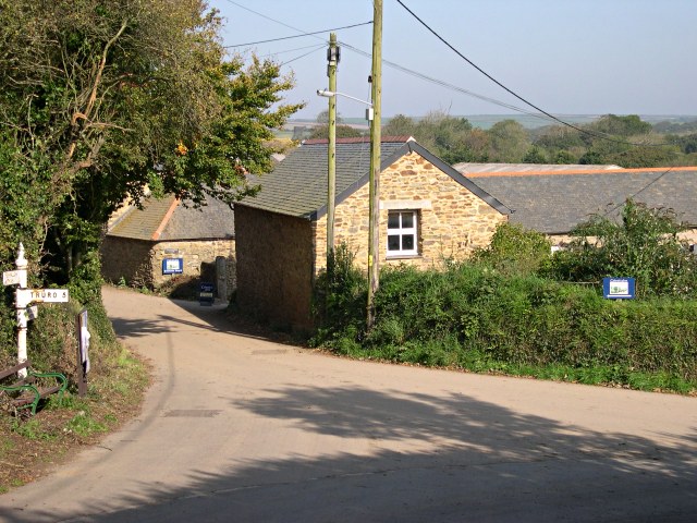
Callestick (/kəˈlɛstɪk/ kə-LESS-tik[1]) is a hamlet in Cornwall, England, UK. It is 5 miles (8.0 km) north-west from Truro and about 1 mile (1.6 km) south of Perranzabuloe. Little Callestick lies to the northeast, near Chyverton House.[2]
| Callestick | |
|---|---|
 Callestick | |
 Callestick Location within Cornwall | |
| OS grid reference | SW775502 |
| Civil parish |
|
| Unitary authority |
|
| Ceremonial county | |
| Region | |
| Country | England |
| Sovereign state | United Kingdom |
| Post town | TRURO |
| Postcode district | TR4 |
| Dialling code | 01872 |
| Police | Devon and Cornwall |
| Fire | Cornwall |
| Ambulance | South Western |
| UK Parliament |
|
The manor of Callestick was recorded in the Domesday Book (1086) when it was held by Robert, Count of Mortain from Bodmin Monastery; before 1066 it had been held by a thane from the monastery. There was 1 hide of land and land for 4 ploughs. There were 12 serfs, 10 acres of woodland, 2 cattle and 30 sheep. The value of the manor was 3 shillings though it had formerly been worth £1 sterling.[3]
Callestick lies between 155 feet (47 m) and 350 feet (110 m) above sea level.
Landmarks
About 250 yards (230 m) to the north-west of the settlement is an English Heritage scheduled monument. It is the remains of a small round enclosure (called a round) of a type that dates back to sometime between the latter part of the Iron Age and post-Roman Britain. The round at Callestock Veor appears to be of a circular hut and is in a reasonable condition compared to other examples of these sites. It was probably the dwelling of a pre-historic farmer and other examples of such sites nearby have dated back to the Bronze Age with the earliest such examples at around 1,700BC.[4] Just to the north of the A30 road and at around 0.7 miles (1.1 km) south-west of Callestick is a bowl barrow which is a scheduled ancient monument.[5] A bowl barrow is a funerary monument that was built sometime in the Late Neolithic period to the Late Bronze Age (generally to the period 2400-1500 BC). The bowl barrow at Callestick Vean is a low mound, approximately 0.5 yards (0.46 m) high and with a diameter of around 22 yards (20 m). This bowl barrow is unusual in that it is on relatively low-lying ground; normally bowl barrows are constructed in a more prominent position, such as a hill top. A little further to the west, a further pair of bowl barrows lie close together and are also listed monument.
About 0.5 miles (0.80 km) to the south-east of Callestick is the West Weal Chiverton mine. It was mainly a lead mine producing over 45,000 tons of high grade lead and over one million ounces of silver between 1859 and 1886.[6]
References
- "Callestick Ice Cream short film". Retrieved 31 December 2019.
- Ordnance Survey One-inch Map of Great Britain; Truro and Falmouth, sheet 190. 1961
- Thorn, C. et al., ed. (1979) Cornwall. Chichester: Phillimore; entry 4,9
- "Extract from English Heritage's listing for national monument 32944" (PDF). DEFRA. Retrieved 8 January 2016.
- "English Heritage listing for ancient monument 1016103 at Callestick Vean". English Heritage. Retrieved 8 January 2016.
- "West Weal Chiverton Mine". Cornwall in Focus. Retrieved 8 January 2015.
Cornwall Portal | |
| Unitary authorities |
|
| Major settlements |
|
| Rivers | |
| Topics |
|
This Cornwall location article is a stub. You can help Wikipedia by expanding it. |
Другой контент может иметь иную лицензию. Перед использованием материалов сайта WikiSort.org внимательно изучите правила лицензирования конкретных элементов наполнения сайта.
WikiSort.org - проект по пересортировке и дополнению контента Википедии