world.wikisort.org - United_Kingdom
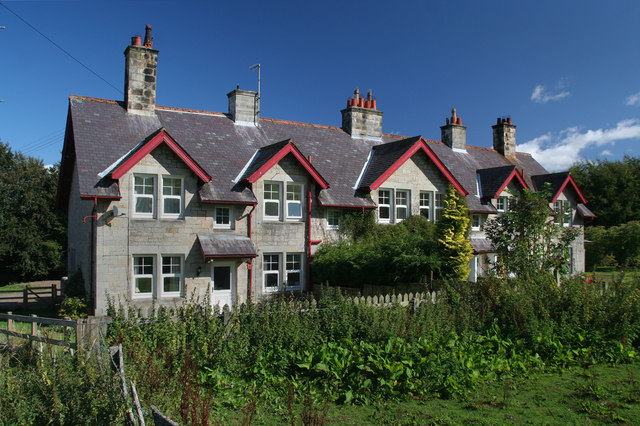
Callaly is a village and civil parish in Northumberland, England. It is about 9 miles (14 km) to the west of Alnwick. The main A697 road (to Morpeth) is 3 miles (5 km) away. It is on the line of the Roman road linking the Roman forts of High Rochester to the west and Learchild to the east, where it joins the Devil's Causeway Roman road to the north. The parish includes the hamlets of Lorbottle and Yetlington.
| Callaly | |
|---|---|
 | |
 Callaly Location within Northumberland | |
| Population | 235 (2011 census including Cartington)[1] |
| OS grid reference | NU055095 |
| Unitary authority | |
| Shire county | |
| Region |
|
| Country | England |
| Sovereign state | United Kingdom |
| Post town | ALNWICK |
| Postcode district | NE66 |
| Dialling code | 01665 |
| Police | Northumbria |
| Fire | Northumberland |
| Ambulance | North East |
| UK Parliament | |
Governance
Callaly is in the parliamentary constituency of Berwick-upon-Tweed. The parish of "Callaly" was formed on 1 April 1955 from Callaly and Yetlington and "Lorbottle".[2]
Landmarks
Callaly Castle, a Grade 1 listed building, is located just north of the village.
Dancing Hall is located outside of Callaly village.
References
- "Parish population 2011". Retrieved 1 July 2015.
- "Relationships and changes Callaly CP through time". A Vision of Britain through Time. Retrieved 22 April 2022.
External links
This Northumberland location article is a stub. You can help Wikipedia by expanding it. |
Другой контент может иметь иную лицензию. Перед использованием материалов сайта WikiSort.org внимательно изучите правила лицензирования конкретных элементов наполнения сайта.
WikiSort.org - проект по пересортировке и дополнению контента Википедии