world.wikisort.org - United_Kingdom
Beggarington Hill is a hamlet in the county of West Yorkshire, England, in the City of Leeds and at the border of Kirklees. Historically, it was part of the West Ardsley civil parish.[1] It is located immediately southwest of West Ardsley near the town of Batley, between Baghill Beck in the north and Hey Beck in the south.[2] The A653 road runs approximately 0.6 miles (1.0 km) west of the settlement.
| Beggarington Hill | |
|---|---|
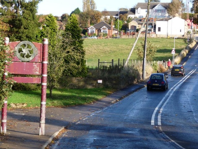 Approach to Beggarington Hill on Hey Beck Lane | |
 Beggarington Hill Location within West Yorkshire | |
| OS grid reference | SE277245 |
| Metropolitan borough |
|
| Metropolitan county | |
| Region |
|
| Country | England |
| Sovereign state | United Kingdom |
| Post town | WAKEFIELD |
| Postcode district | WF3 |
| Police | West Yorkshire |
| Fire | West Yorkshire |
| Ambulance | Yorkshire |
Nearby Woodkirk Mill, a corn mill, had fallen into disuse by 1930.[3]
References
- "Boundary Map of Ardsley West CP/AP". A Vision of Britain through Time. GB Historical GIS / University of Portsmouth. Retrieved 18 April 2018.
- Yorkshire CCXXXIII.SW (includes: Batley; Morley; Ossett; Stanley.) (Map). 1:10560. Ordnance Survey. 1949.
- Yorkshire CCXXXIII.SW (includes: Batley; Morley; Ossett; Stanley.) (Map). 1:10560. Ordnance Survey. 1931.
This West Yorkshire location article is a stub. You can help Wikipedia by expanding it. |
Текст в блоке "Читать" взят с сайта "Википедия" и доступен по лицензии Creative Commons Attribution-ShareAlike; в отдельных случаях могут действовать дополнительные условия.
Другой контент может иметь иную лицензию. Перед использованием материалов сайта WikiSort.org внимательно изучите правила лицензирования конкретных элементов наполнения сайта.
Другой контент может иметь иную лицензию. Перед использованием материалов сайта WikiSort.org внимательно изучите правила лицензирования конкретных элементов наполнения сайта.
2019-2025
WikiSort.org - проект по пересортировке и дополнению контента Википедии
WikiSort.org - проект по пересортировке и дополнению контента Википедии