world.wikisort.org - United_Kingdom
Ashley is a village and civil parish in the North Northamptonshire, England, about 4 miles (6.4 km) northeast of Market Harborough, Leicestershire and 5 miles (8.0 km) west of Corby. The population of the civil parish at the 2011 census was 224.[1] The village is near the River Welland, which forms the border with Leicestershire. The Roman road called Via Devana in the part from Ratae (now Leicester) to Duroliponte (now Cambridge) ran just north of the village.
| Ashley | |
|---|---|
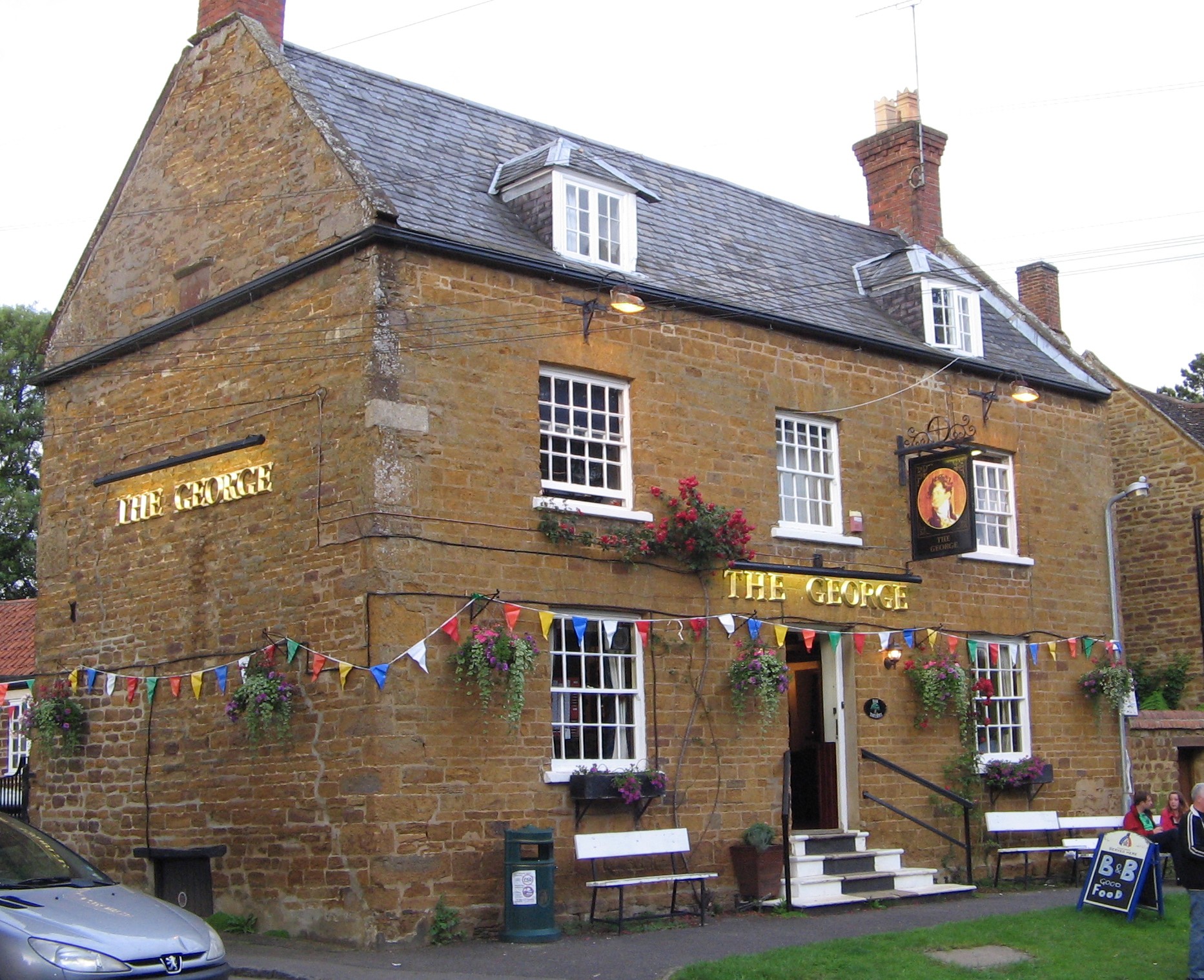 The George public house | |
 Ashley Location within Northamptonshire | |
| Population | 224 (2011) |
| OS grid reference | SP7990 |
| • London | 92 miles (148.1 km) |
| District |
|
| Shire county |
|
| Region |
|
| Country | England |
| Sovereign state | United Kingdom |
| Post town | Market Harborough |
| Postcode district | LE16 |
| Dialling code | 01858 |
| Police | Northamptonshire |
| Fire | Northamptonshire |
| Ambulance | East Midlands |
The village's name means 'ash-tree wood/clearing'.[2]
Demographics
The 2001 census shows a population of 217.[3]
Notable buildings
The village church is dedicated to St Mary the Virgin and was mostly rebuilt by Sir George Gilbert Scott at a cost of £2,000 in 1867 for the Rev Richard Pulteney, rector 1853-74 and also the Squire.[4]
The Manor House was also remodelled for Pulteney by Edmund Francis Law in 1865. Pulteney also got Scott to build a Gothic village school (1858) and Masters House (1865)
Roman villa
The remains were found in Alderstone field in the 19th century during railway construction of the line from Market Harborough to Peterborough and Stamford just north of the village, which had its own station (Ashley and Weston railway station). The site was close to the Roman Road from Leicester to Cambridge. Excavations in 1969-71 show a villa and outbuildings close to the road.[4]
Village events
Every Easter Monday there is a tug of war match against the neighbouring villages of Hallaton and Medbourne.
References
- "Civil Parish population 2011". Neighbourhood Statistics. Office for National Statistics. Retrieved 27 June 2016.
- "Key to English Place-names".
- Office for National Statistics: Ashley CP: Parish headcounts. Retrieved 6 December 2009
- Pevsner, Nikolaus (1961). The Buildings of England – Northamptonshire. London and New Haven: Yale University Press. pp. 93–4. ISBN 978-0-300-09632-3.
External links
- Ashley in the Domesday Book
This Northamptonshire location article is a stub. You can help Wikipedia by expanding it. |
Другой контент может иметь иную лицензию. Перед использованием материалов сайта WikiSort.org внимательно изучите правила лицензирования конкретных элементов наполнения сайта.
WikiSort.org - проект по пересортировке и дополнению контента Википедии