world.wikisort.org - United_Kingdom
Arram is a small (population 200) farming village in the East Riding of Yorkshire, England. It is situated approximately 3 miles (5 km) north of the market town of Beverley and 1.5 miles (2.4 km) east of Leconfield.
| Arram | |
|---|---|
 Arram Location within the East Riding of Yorkshire | |
| OS grid reference | TA041441 |
| • London | 165 mi (266 km) S |
| Civil parish |
|
| Unitary authority |
|
| Ceremonial county |
|
| Region |
|
| Country | England |
| Sovereign state | United Kingdom |
| Post town | BEVERLEY |
| Postcode district | HU17 |
| Dialling code | 01964 |
| Police | Humberside |
| Fire | Humberside |
| Ambulance | Yorkshire |
| UK Parliament |
|
It forms part of the civil parish of Leconfield.
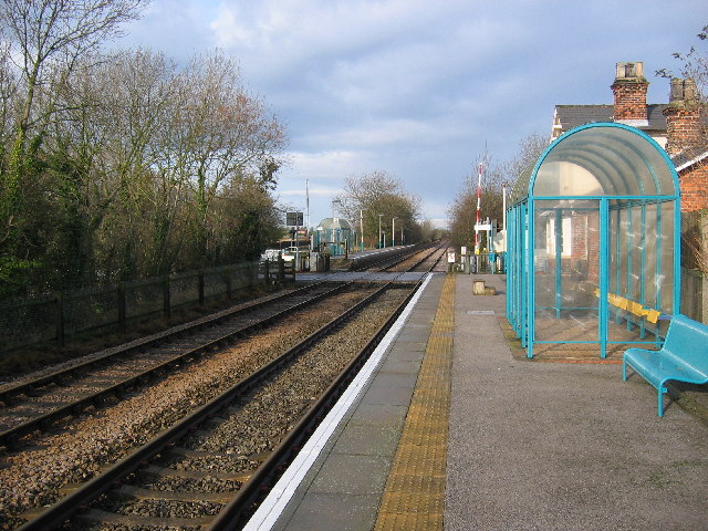
The main features are a small railway station on the Yorkshire Coast Line, proximity to RAF Leconfield and a red phonebox.
The village has a fishing venue on the tidal River Hull.
The road from Leconfield is one continuous corner due to being moved in the 1970s to accommodate the lengthening of the runway for Vulcan Bombers.
The Beverley Minster Way Walk goes through Arram.[1]
Image gallery

References
- "Beverley Area Walks". East Riding of Yorkshire Council. Retrieved 10 August 2009.
- Gazetteer — A–Z of Towns Villages and Hamlets. East Riding of Yorkshire Council. 2006. p. 3.
External links
This East Riding of Yorkshire location article is a stub. You can help Wikipedia by expanding it. |
Текст в блоке "Читать" взят с сайта "Википедия" и доступен по лицензии Creative Commons Attribution-ShareAlike; в отдельных случаях могут действовать дополнительные условия.
Другой контент может иметь иную лицензию. Перед использованием материалов сайта WikiSort.org внимательно изучите правила лицензирования конкретных элементов наполнения сайта.
Другой контент может иметь иную лицензию. Перед использованием материалов сайта WikiSort.org внимательно изучите правила лицензирования конкретных элементов наполнения сайта.
2019-2026
WikiSort.org - проект по пересортировке и дополнению контента Википедии
WikiSort.org - проект по пересортировке и дополнению контента Википедии