world.wikisort.org - Vereinigtes_Königreich
Appleby-in-Westmorland ist ein Ort und civil parish im District Eden in der Grafschaft Cumbria, England. Im Jahr 2001 hatte es 2862 Einwohner.[1] Bis 1972 gehörte Appleby zur Grafschaft Westmorland, deren Verwaltungssitz der Ort war.
| Appleby-in-Westmorland | |||
|---|---|---|---|
 | |||
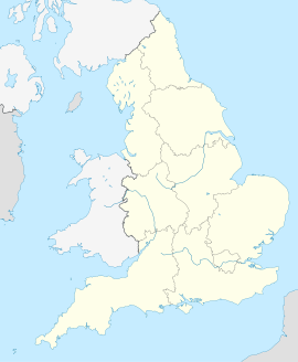
| Koordinaten | 54° 35′ N, 2° 29′ W | ||
| OS National Grid | NY6820 | ||
| |||
| Traditionelle Grafschaft | Westmorland | ||
| Einwohner | 2862 (Stand: 2001) | ||
| Verwaltung | |||
| Post town | APPLEBY-IN-WESTMORLAND | ||
| Postleitzahlenabschnitt | CA16 | ||
| Vorwahl | 017683 | ||
| Landesteil | England | ||
| Region | North West England | ||
| Shire county | Cumbria | ||
| District | Eden | ||
| Civil Parish | Appleby-in-Westmorland | ||
| Britisches Parlament | Penrith and The Border | ||
Am Ortsrand liegt Appleby Castle, das sich in Privatbesitz befindet.
Der Bahnhof von Appleby (früher Appleby West) liegt an der Bahnstrecke Settle–Carlisle, der Bahnhof Appleby East an der Eden Valley Bahnstrecke wurde 1962 geschlossen.
Einzelnachweise
- Neighbourhood Statistics (Memento des Originals vom 4. März 2016 im Internet Archive) Info: Der Archivlink wurde automatisch eingesetzt und noch nicht geprüft. Bitte prüfe Original- und Archivlink gemäß Anleitung und entferne dann diesen Hinweis.
Weblinks
Commons: Appleby-in-Westmorland – Sammlung von Bildern, Videos und Audiodateien
На других языках
- [de] Appleby-in-Westmorland
[en] Appleby-in-Westmorland
Appleby-in-Westmorland is a market town and civil parish in the Eden District of Cumbria, England, with a population of 3,048 at the 2011 Census.[1] Crossed by the River Eden, Appleby was the county town of the historic county of Westmorland. It was known just as Appleby until 1974–1976, when the council of the successor parish to the borough changed it to retain the name Westmorland, which was abolished as an administrative area under the Local Government Act 1972.[2] It lies 14 miles (23 km) south-east of Penrith, 32 miles (51 km) south-east of Carlisle, 27 miles (43 km) north-east of Kendal and 45 miles (72 km) west of Darlington.Текст в блоке "Читать" взят с сайта "Википедия" и доступен по лицензии Creative Commons Attribution-ShareAlike; в отдельных случаях могут действовать дополнительные условия.
Другой контент может иметь иную лицензию. Перед использованием материалов сайта WikiSort.org внимательно изучите правила лицензирования конкретных элементов наполнения сайта.
Другой контент может иметь иную лицензию. Перед использованием материалов сайта WikiSort.org внимательно изучите правила лицензирования конкретных элементов наполнения сайта.
2019-2026
WikiSort.org - проект по пересортировке и дополнению контента Википедии
WikiSort.org - проект по пересортировке и дополнению контента Википедии