world.wikisort.org - Espagne
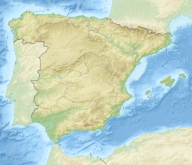
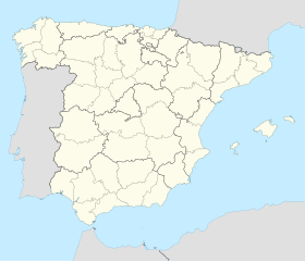
Ponts est une commune de la province de Lleida, en Catalogne, en Espagne, de la comarque de Noguera.
Pour les articles homonymes, voir Ponts.
Histoire
Hugues Roger III de Pallars Sobirà fut également baron de Ponts de 1478 à 1487.
Notes et références
Annexes
Articles connexes
- Liste des comarques de Catalogne
Liens externes
- Portail de la Catalogne
- Portail des Pyrénées
На других языках
[en] Ponts, Lleida
Ponts is a municipality and a town in the comarca of the Noguera in the province of Lleida, Catalonia, Spain. It is situated on the left bank of the Segre river near its confluence with the Llobregós river and at the point where the routes from Calaf (currently the C-1412 road) and Cervera (currently the L-313 road) meet the route from Lleida to La Seu d'Urgell (currently the C-1313 road).[es] Ponts (Lérida)
Pons[2] (en catalán, Ponts) es un municipio y localidad española de la provincia de Lérida situado en la comarca catalana de la Noguera. Se sitúa en la subcomarca del Segre Mitjà. En la década de 1960 creció el término municipal al incorporar a Tosal.[3]- [fr] Ponts (Catalogne)
[ru] Понтс
Понтс (исп. Ponts) — населённый пункт и муниципалитет в Испании, входит в провинцию Льейда в составе автономного сообщества Каталония. Муниципалитет находится в составе района (комарки) Ногера. Занимает площадь 30,77 км². Население — 2744 человека (на 2010 год). Расстояние до административного центра провинции — 132 км.Текст в блоке "Читать" взят с сайта "Википедия" и доступен по лицензии Creative Commons Attribution-ShareAlike; в отдельных случаях могут действовать дополнительные условия.
Другой контент может иметь иную лицензию. Перед использованием материалов сайта WikiSort.org внимательно изучите правила лицензирования конкретных элементов наполнения сайта.
Другой контент может иметь иную лицензию. Перед использованием материалов сайта WikiSort.org внимательно изучите правила лицензирования конкретных элементов наполнения сайта.
2019-2025
WikiSort.org - проект по пересортировке и дополнению контента Википедии
WikiSort.org - проект по пересортировке и дополнению контента Википедии


