world.wikisort.org - Espagne
Montiel est une commune d'Espagne de la province de Ciudad Real dans la communauté autonome de Castille-La Manche.
Pour les articles homonymes, voir Montiel (homonymie).
| Montiel | |||
 Héraldique |
 Drapeau |
||
 Château de l'Étoile, sous la neige | |||
| Administration | |||
|---|---|---|---|
| Pays | |||
| Communauté autonome | |||
| Province | |||
| Comarque | Campo de Montiel | ||
| Maire | Francisco Javier Álamo Amador | ||
| Code postal | 13326 | ||
| Démographie | |||
| Gentilé | Montieleño/a | ||
| Population | 1 256 hab. () | ||
| Densité | 4,6 hab./km2 | ||
| Géographie | |||
| Coordonnées | 38° 41′ 47″ nord, 2° 51′ 44″ ouest | ||
| Altitude | 900 m |
||
| Superficie | 27 129 ha = 271,29 km2 | ||
| Localisation | |||

| |||
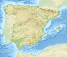
| Géolocalisation sur la carte : Espagne
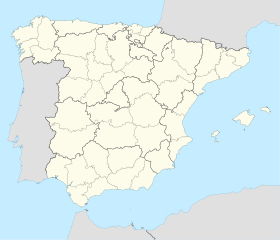
Géolocalisation sur la carte : Espagne
| |||
| Liens | |||
| Site web | http://www.manserja.org/municipi/montiel/home.htm | ||
| modifier |
|||
Géographie
Histoire
En 1369, Montiel, dominée par le château de l'Étoile, est le théâtre de la bataille qui porte son nom, à l'issue de laquelle Henri de Trastamare assisté de Bertrand du Guesclin et des siens défait Pierre le Cruel et le remplace sur le trône de Castille.
Administration
Culture
- Portail de Castille-La Manche
На других языках
[de] Montiel (Ciudad Real)
Montiel ist ein Ort und eine aus drei räumlich getrennten Teilen bestehende Gemeinde (municipio) mit etwa 1200 Einwohnern im Südosten der historischen Landschaft La Mancha in der zentralspanischen Provinz Ciudad Real der Autonomen Region Kastilien-La Mancha.[en] Montiel
Montiel is a municipality of Spain located in the province of Ciudad Real, Castilla–La Mancha.[2] The municipality spans across a total area of 271.22 km2 and, as of 1 January 2020, it has a registered population of 1,294.[2][es] Montiel
Montiel es un municipio y localidad española del sudeste de la provincia de Ciudad Real, en la comunidad autónoma de Castilla-La Mancha. Cuenta con una población de 1364 habitantes (INE 2017). La localidad forma parte de la comarca del Campo de Montiel y está situada en el margen izquierdo del río Jabalón, en el interior del valle que forman las laderas de los cerros del castillo de la Estrella, de San Polo y de las Camarillas.- [fr] Montiel
[ru] Монтьель (Сьюдад-Реаль)
Монтьель (исп. Montiel) — город и муниципалитет в Испании, входит в провинцию Сьюдад-Реаль, в составе автономного сообщества Кастилия — Ла-Манча. Муниципалитет находится в составе района (комарки) Кампо-де-Монтьель. Занимает площадь 271,29 км². Население — 1570 человек (на 2010 год). Расстояние до административного центра провинции — 106 км. Место известного сражения Средних веков.Текст в блоке "Читать" взят с сайта "Википедия" и доступен по лицензии Creative Commons Attribution-ShareAlike; в отдельных случаях могут действовать дополнительные условия.
Другой контент может иметь иную лицензию. Перед использованием материалов сайта WikiSort.org внимательно изучите правила лицензирования конкретных элементов наполнения сайта.
Другой контент может иметь иную лицензию. Перед использованием материалов сайта WikiSort.org внимательно изучите правила лицензирования конкретных элементов наполнения сайта.
2019-2025
WikiSort.org - проект по пересортировке и дополнению контента Википедии
WikiSort.org - проект по пересортировке и дополнению контента Википедии

